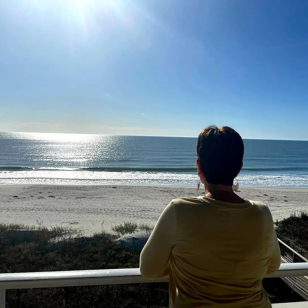
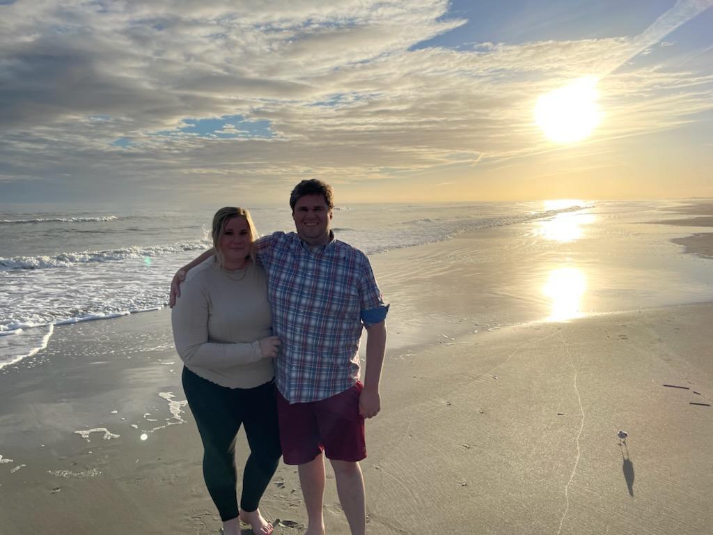
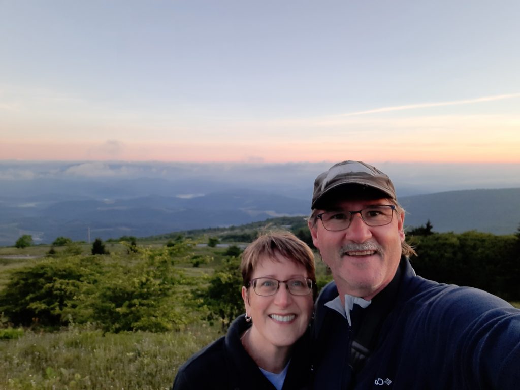
“The legend lives on from the Chippewa on down, Of the big lake they called Gitche Gumee.” These lyrics from Gordon Lightfoot’s 1976 hit song The Wreck of the Edmund Fitzgerald echoed across the water of Lake Superior during our travels through the Upper Peninsula of Michigan. It was late September in northern Michigan and Theresa and I were celebrating with an early 35th Anniversary trip. We chose to visit the big three, the greatest of the Great Lakes-Michigan, Superior and Huron. Our plan was to see them by land-on shore, and by water-off shore. We wanted to climb their impressive sand dunes, wander through their surrounding forests, and explore some of their famous waterfalls. Let the tour begin!
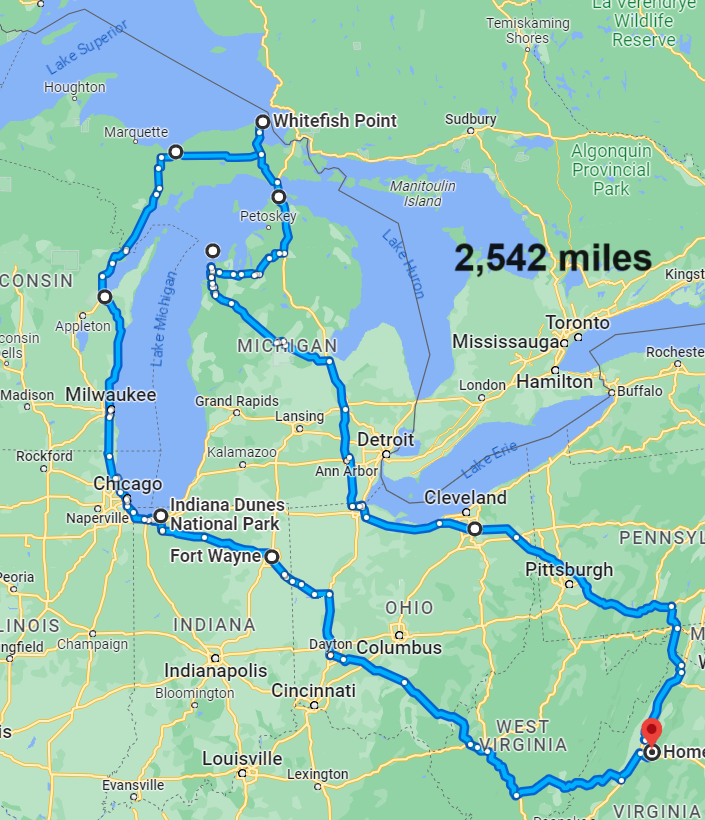

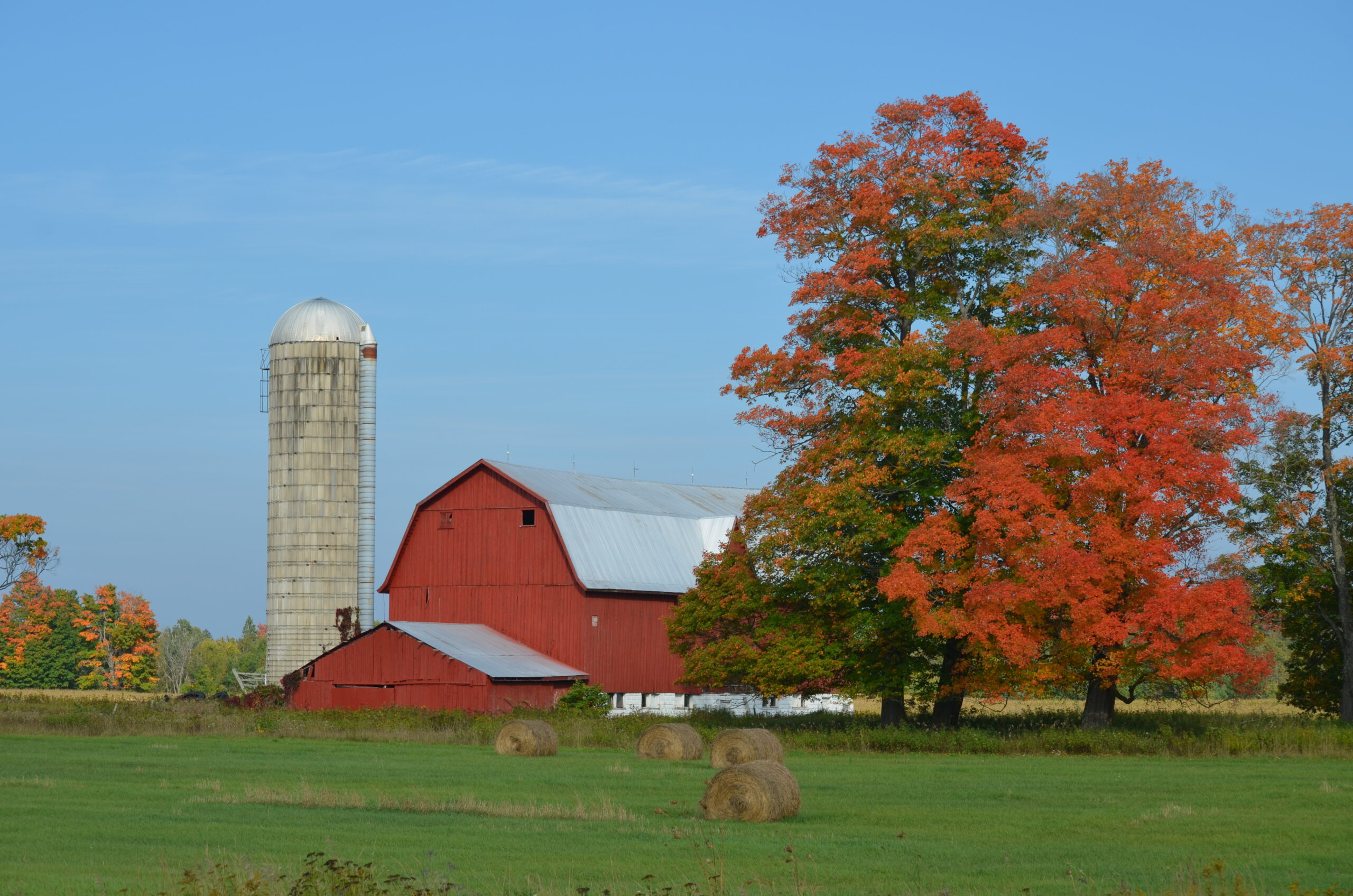
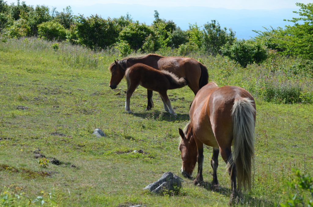
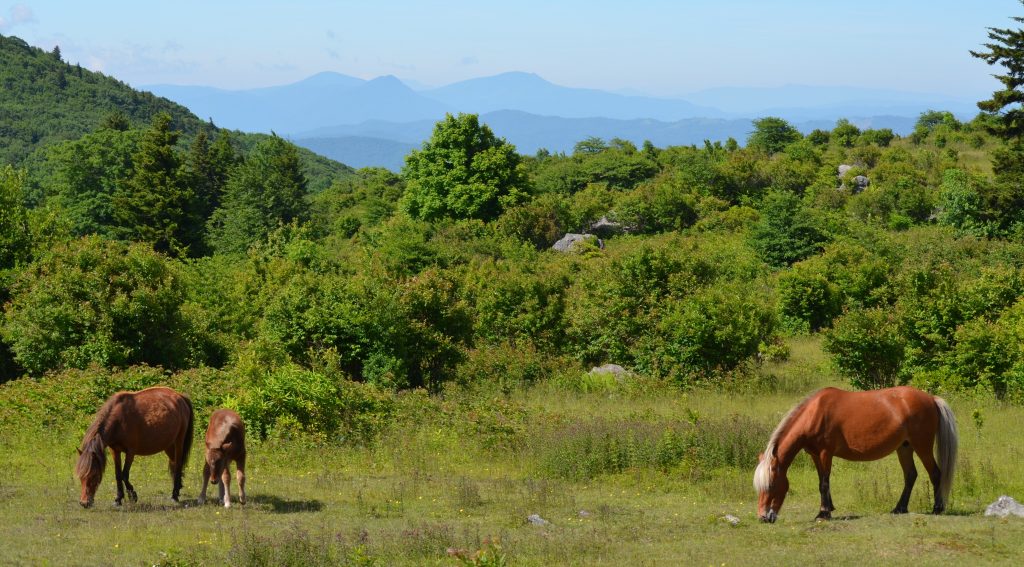
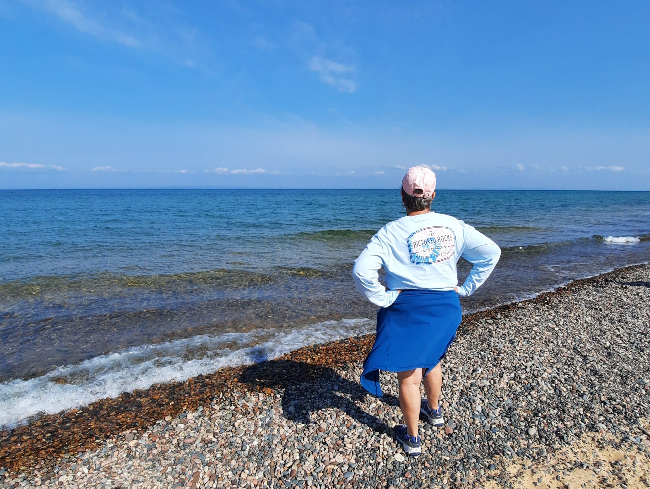
Theresa had never visited this area, and it’s been 40+ years since I had travelled through here. Our route included 8 states, 3 Great Lakes, 2 National Parks, 2 National Lakeshores, and a handful of state parks, that included picturesque landscapes and rich history! Most of our time was spent with the “Yoopers” of Michigan, and discovering the secrets and beauty of the big lake the Ojibwe’s called “Gichigami” (large body of water)-Lake Superior.

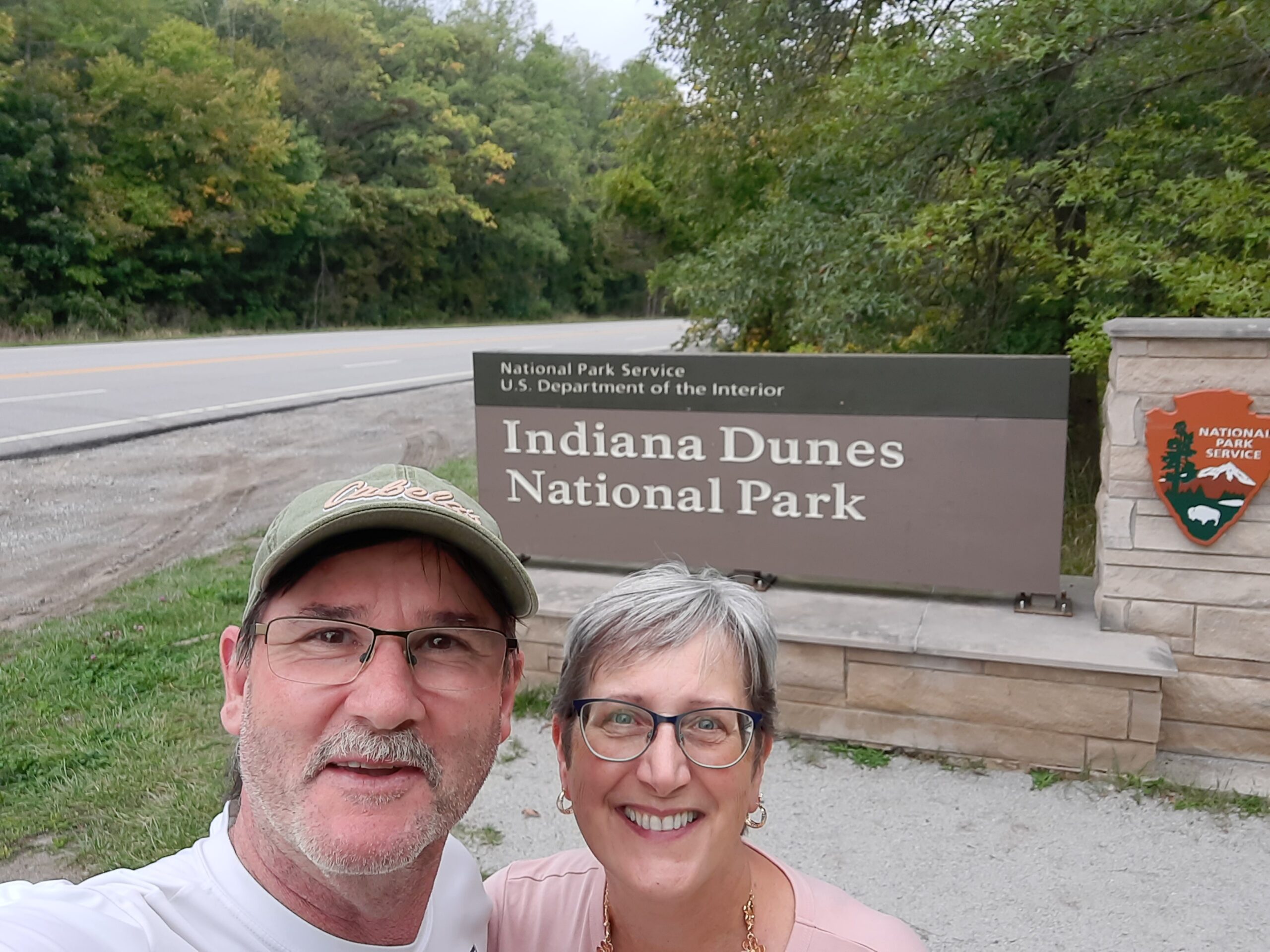
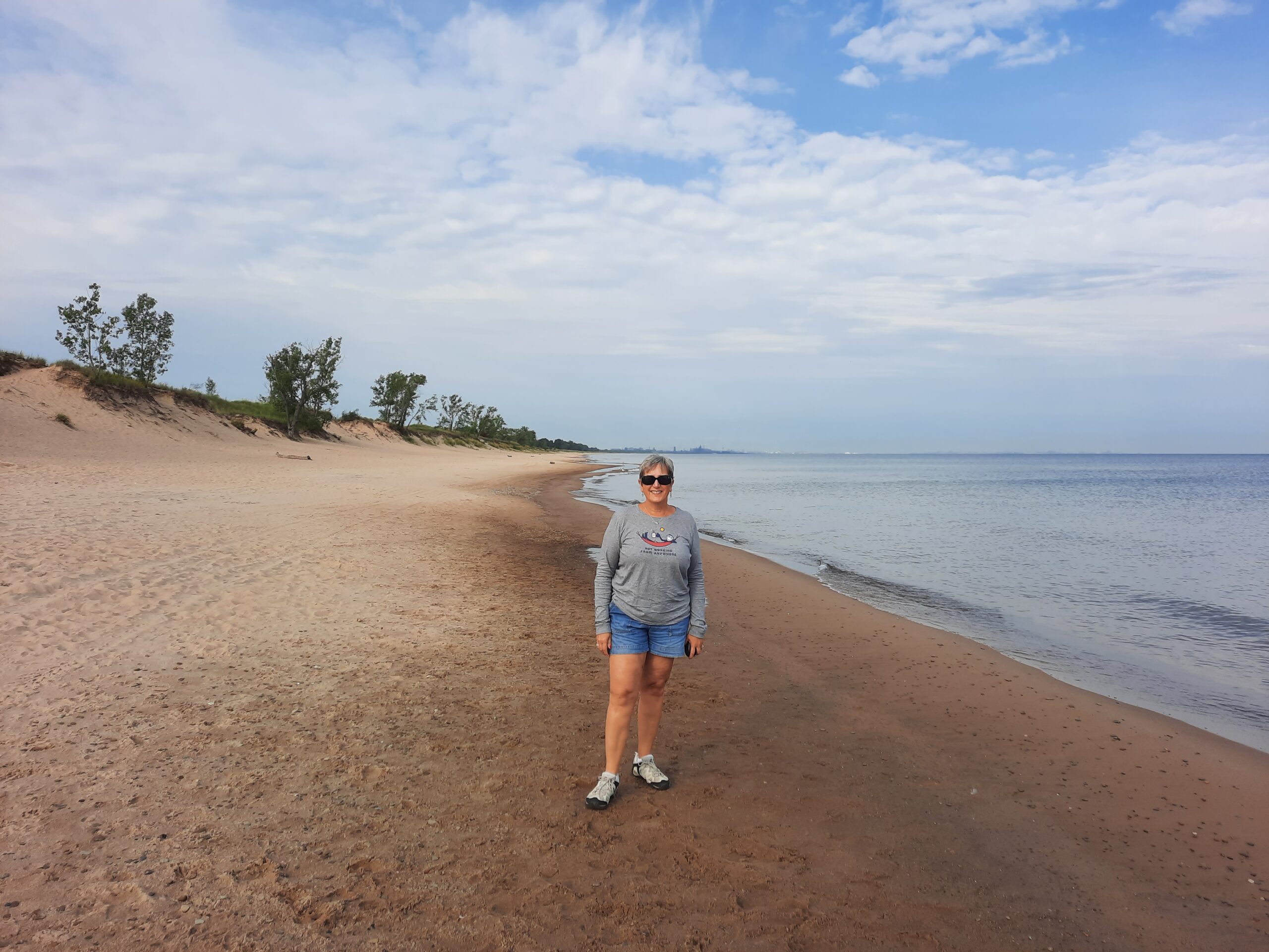
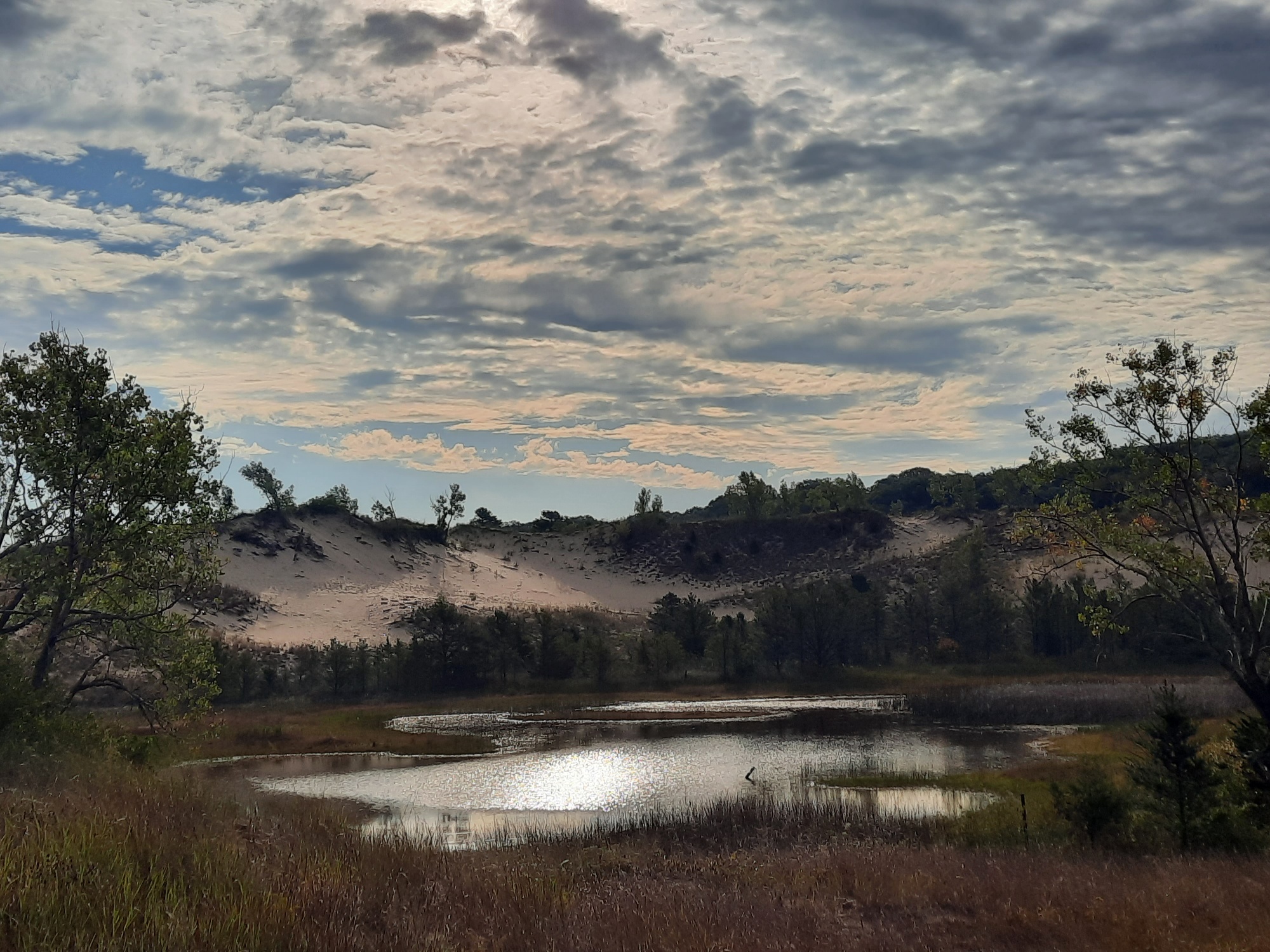
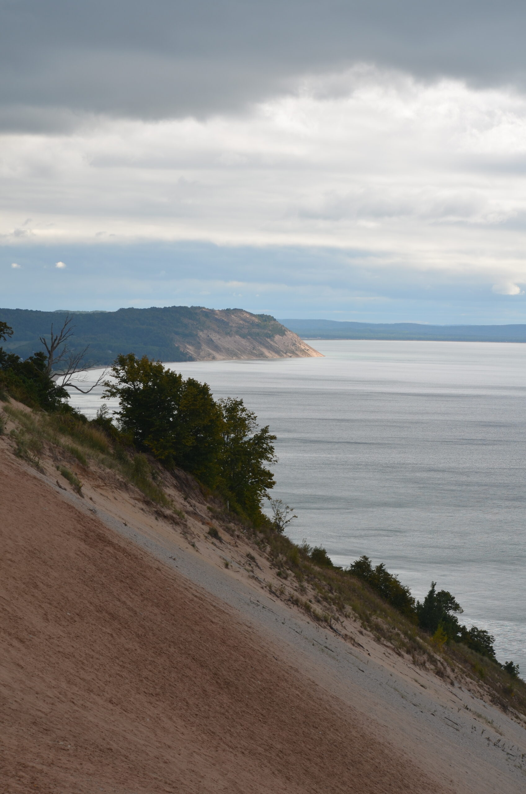
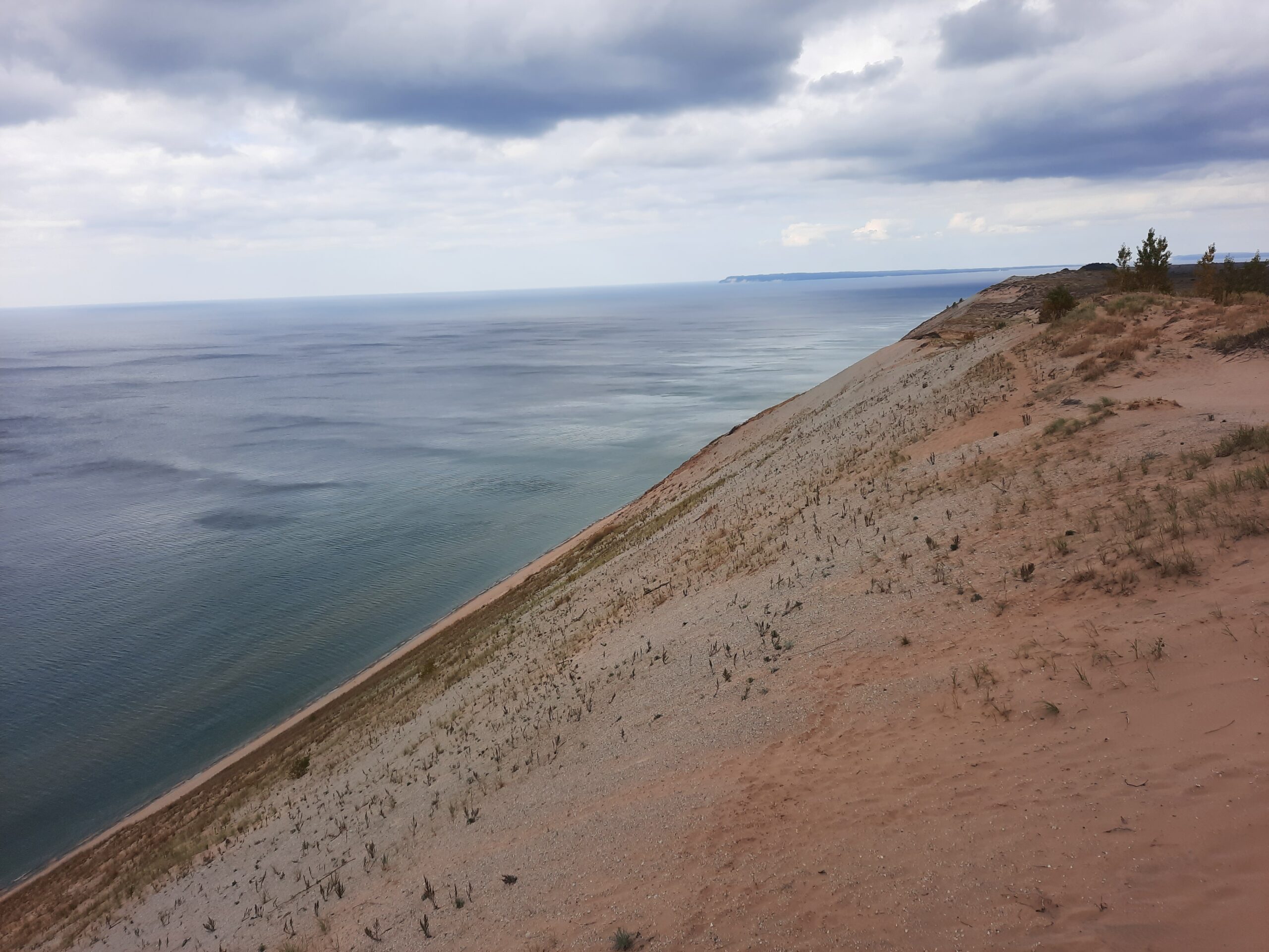
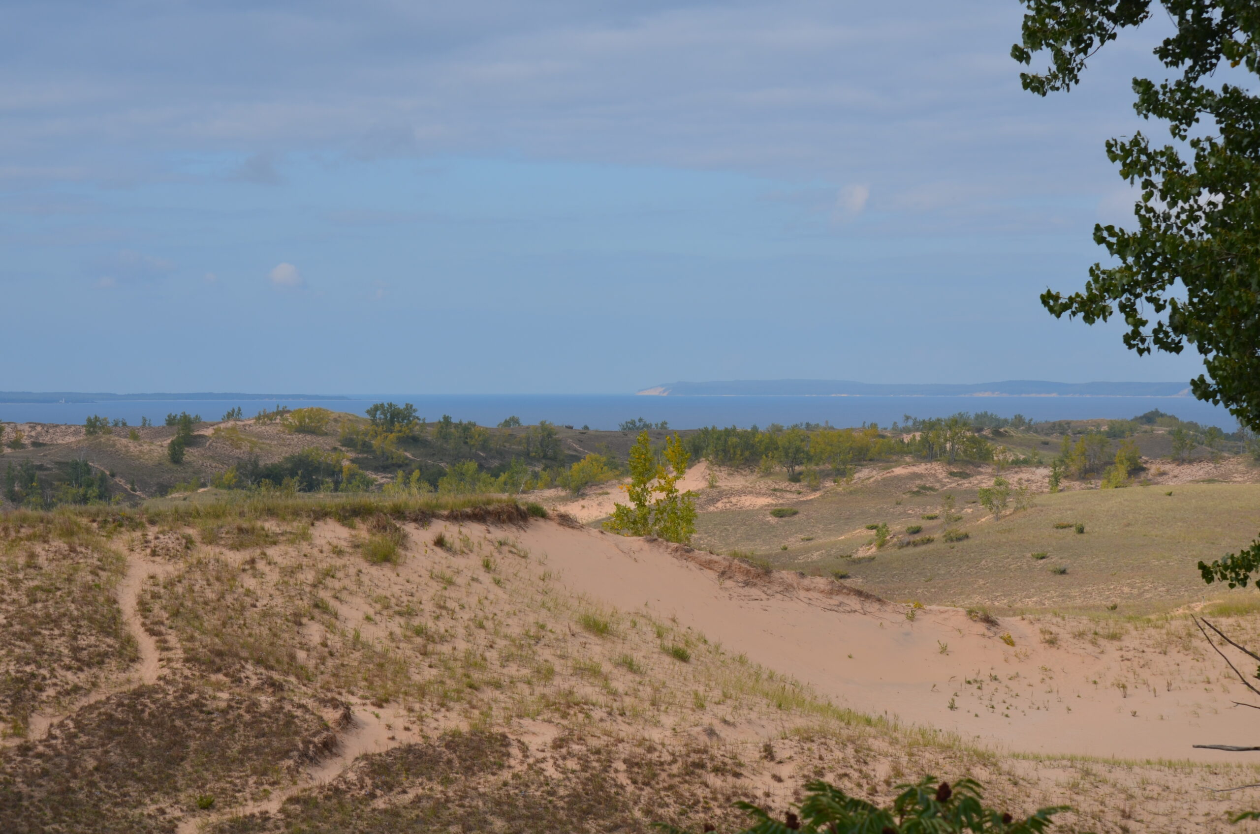
Two of our scheduled stops included some of the most remarkable sand dunes in the Great Lakes region. They were Indiana Dunes National Park, just east of Chicago, and Sleeping Bear Dunes National Lakeshore, about 4 ½ hours north. Both are located on Lake Michigan’s eastern shore, in the Lower Peninsula. The dunes are a unique, fragile ecosystem, always changing with wind and weather. They were formed when the underlying sandstone geology was broken down from glaciers, and wave action from Lake Michigan deposited (and still does) sand on the adjacent shorelines. In some areas, the dunes remain bare sand, while in many other areas vegetation now covers the massive sandy bluffs.
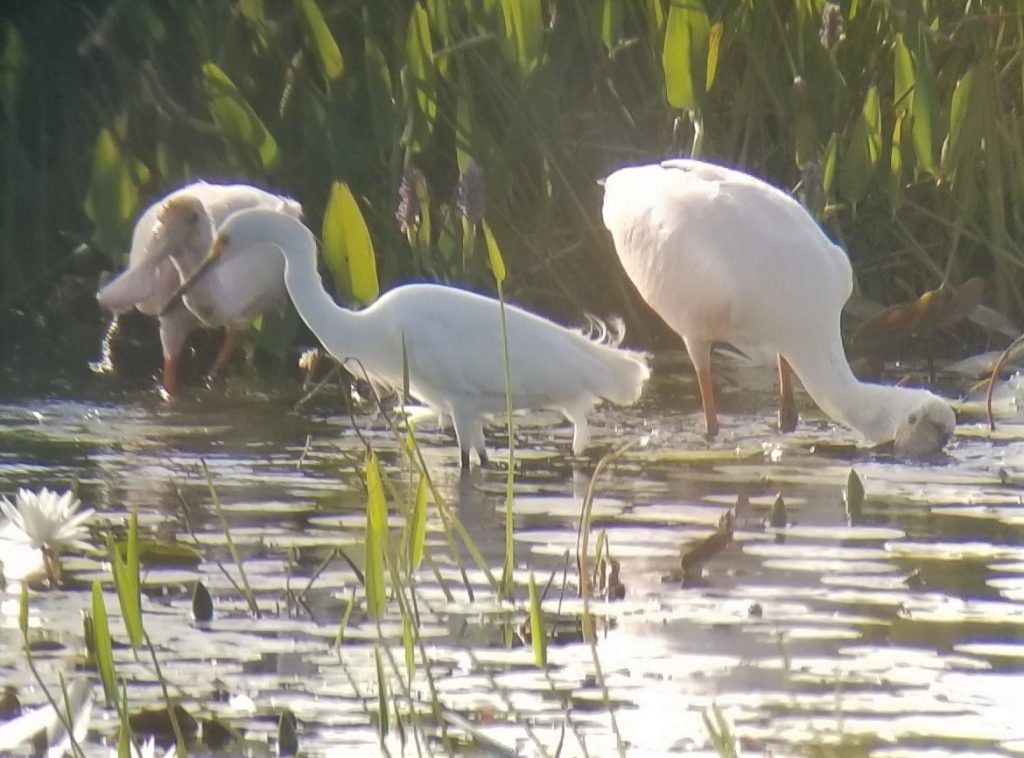
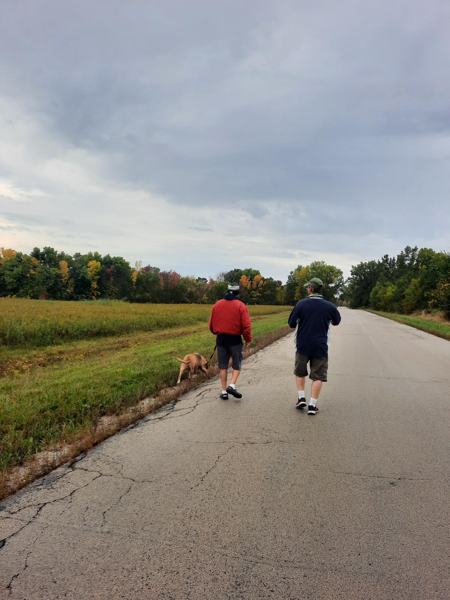
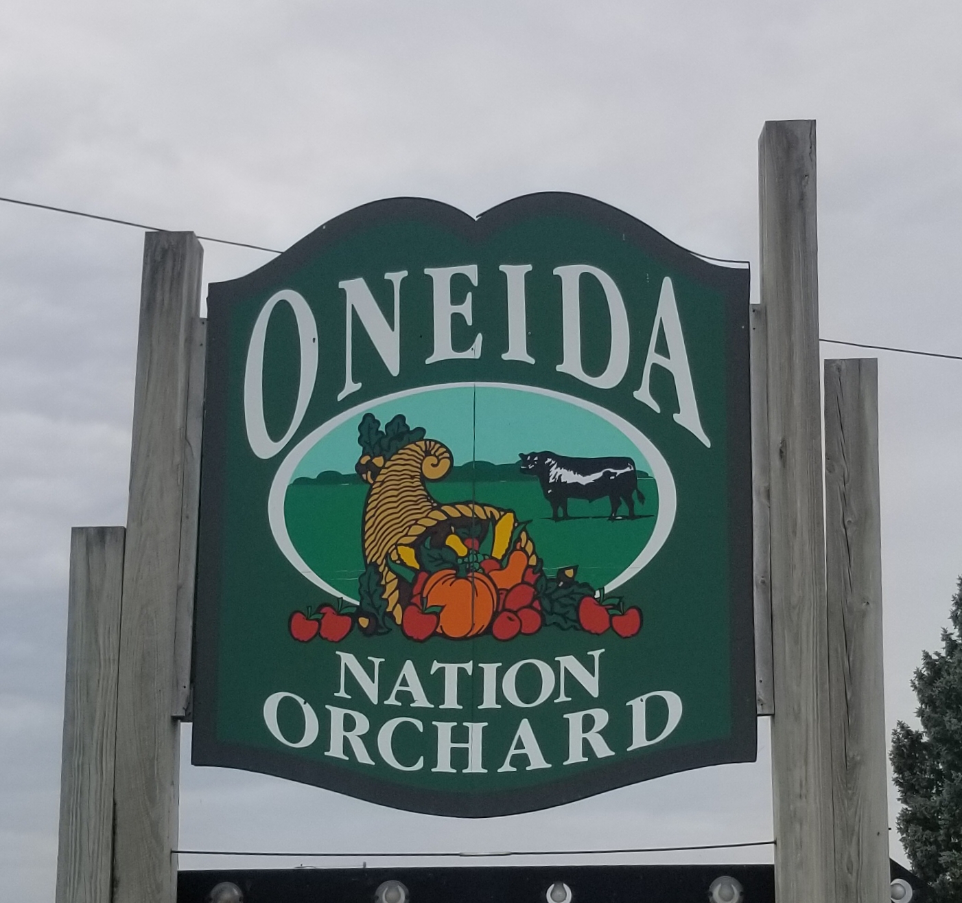
We also had time to slow down for a few days and visit my buddy Steve (Cheezer) near Green Bay, WI. Steve lives on a beautiful piece of property within the Oneida Indian Reservation, and was employed by them for 25 years. He played tour guide for us in the Green Bay area, showing us some of the local sights such as a cool County Park Preserve, the restored waterfront of Voyageur Park in De Pere, and a few of his past natural resource restoration projects on tribal lands. He can proud of the work he managed. While we standing there looking out over the fields from a great viewing pavilion, we saw lots of birds, including a stop where raptors were flying all around us, including 3 Bald Eagles, a couple Red-tails and a Northern Harrier. We capped off our day with a stop at a local Apple Festival where we picked some apples so Theresa could make him some homemade pies…which he was eagerly awaiting! It was a great visit, and long overdue! We’ll be back soon!
Welcome to Wisconsin Sign 

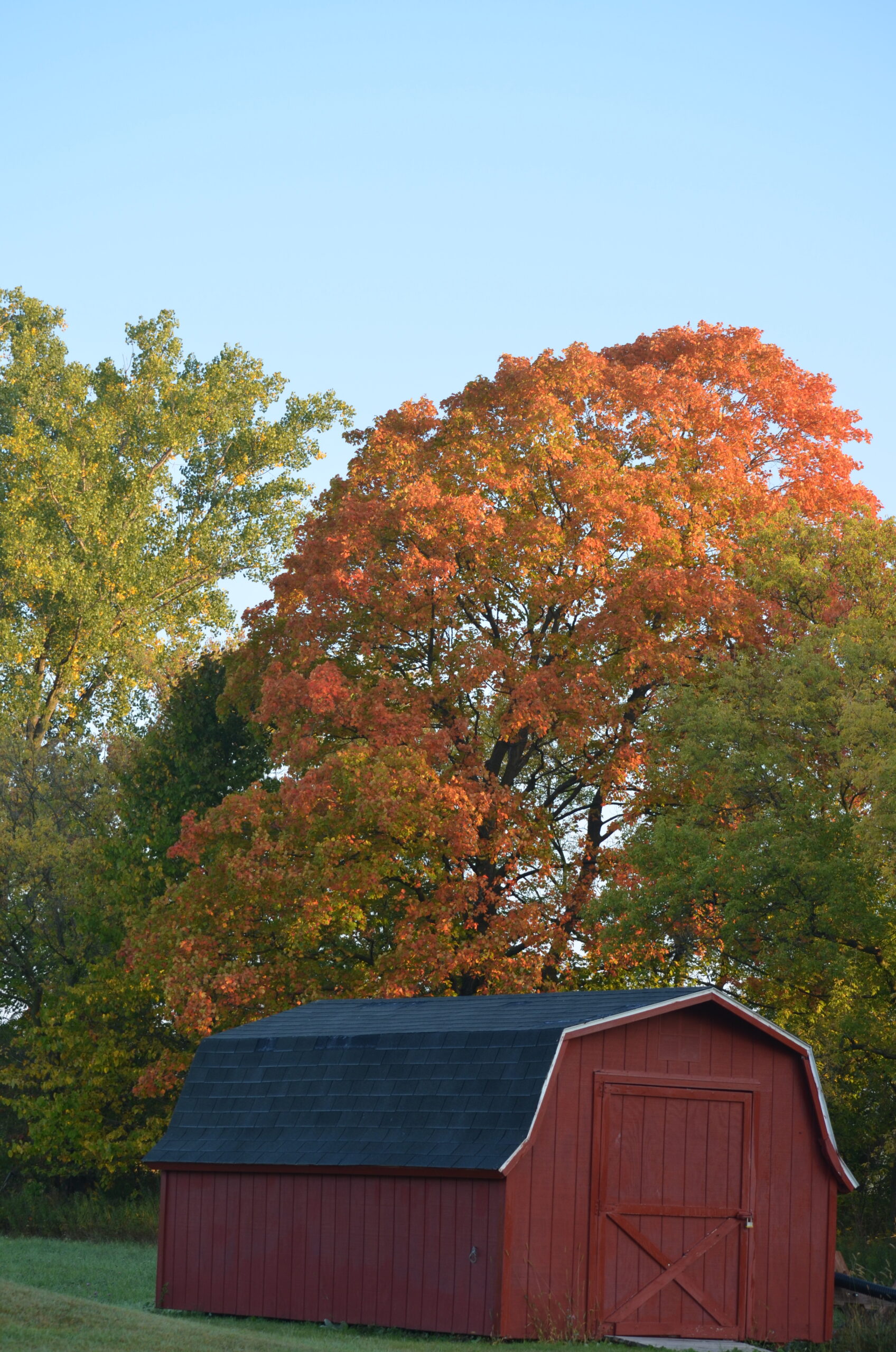
Beautiful Sugar Maple behind Steve’s shed 
Asters in full bloom 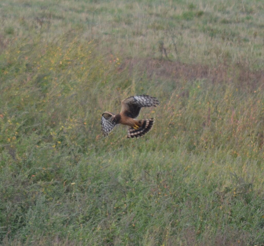
A Northern Harrier hunts over a field 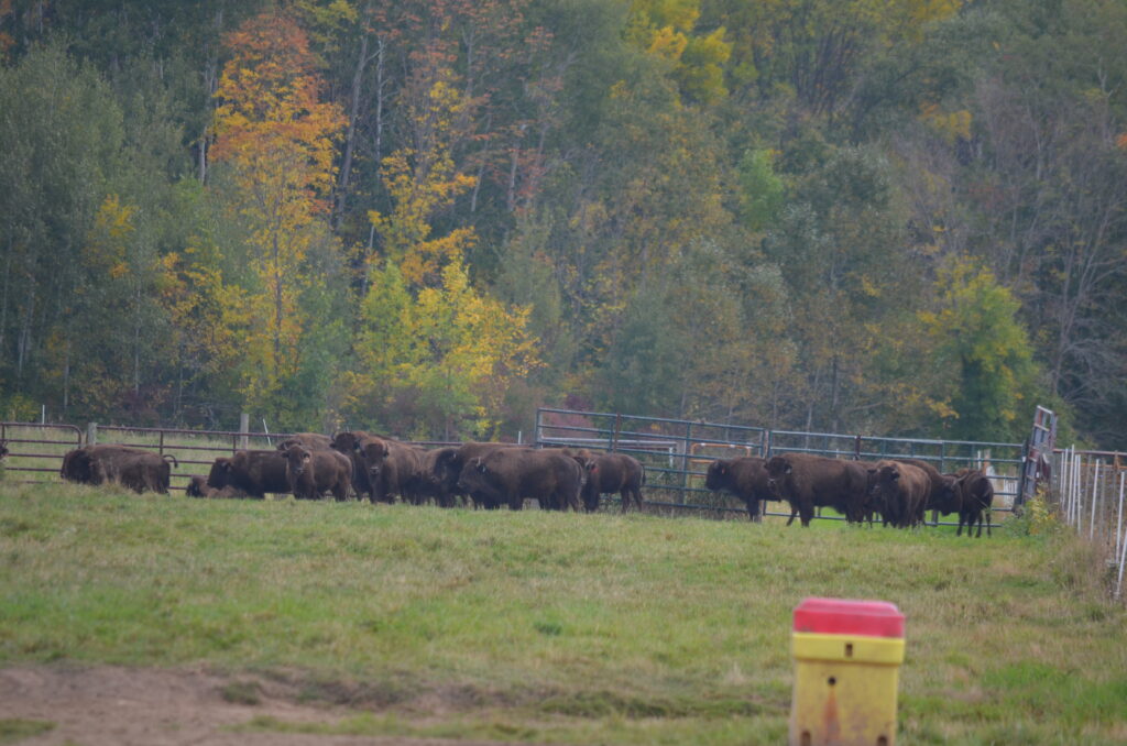
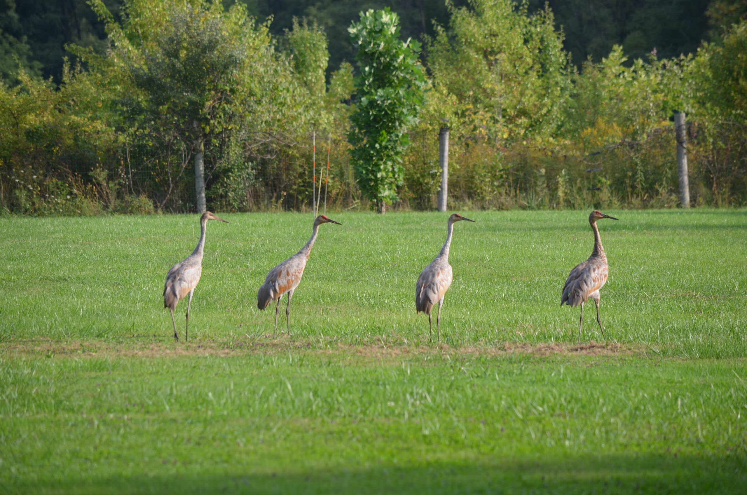
The Oneida Tribe’s Bison herd


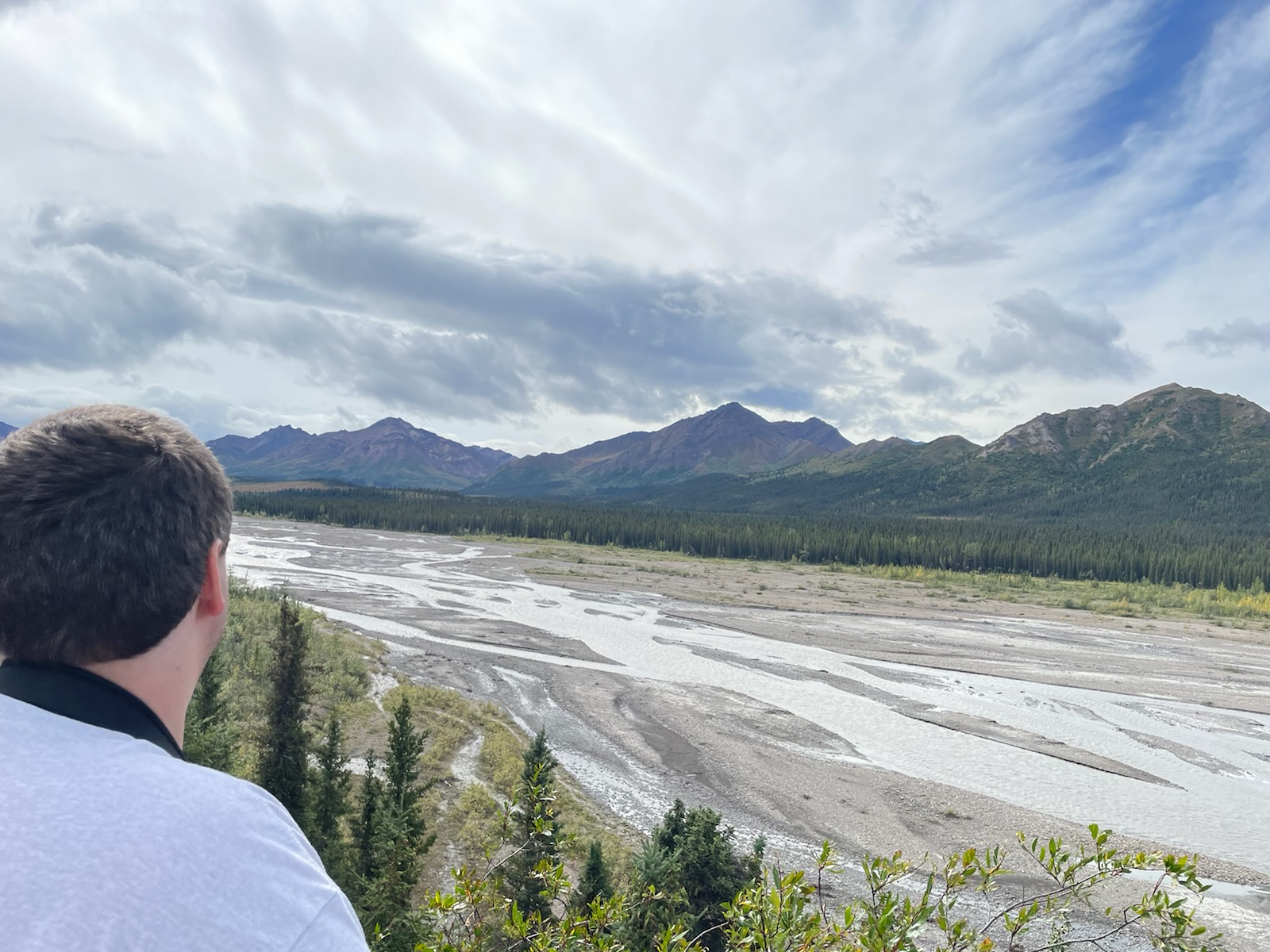
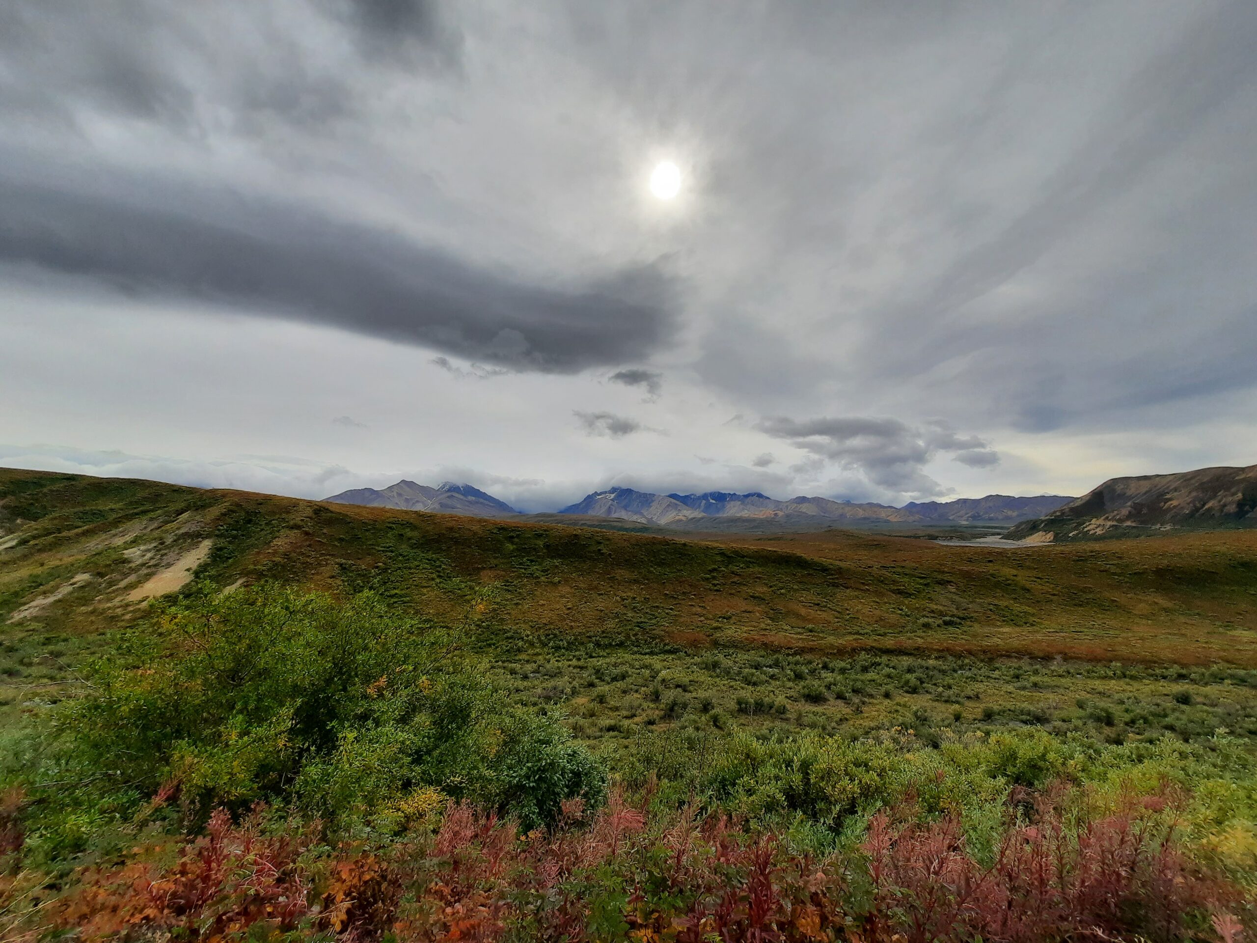
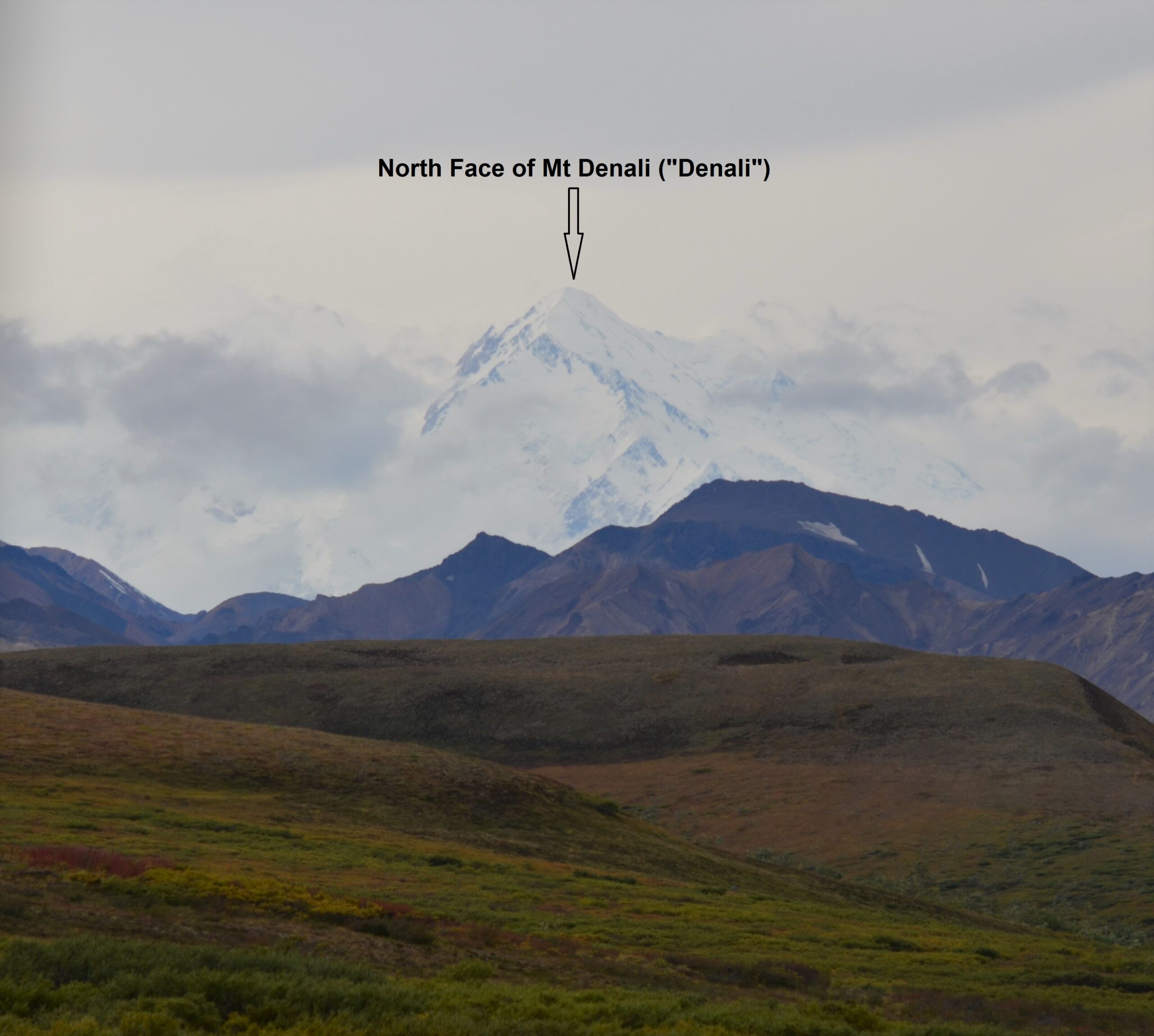
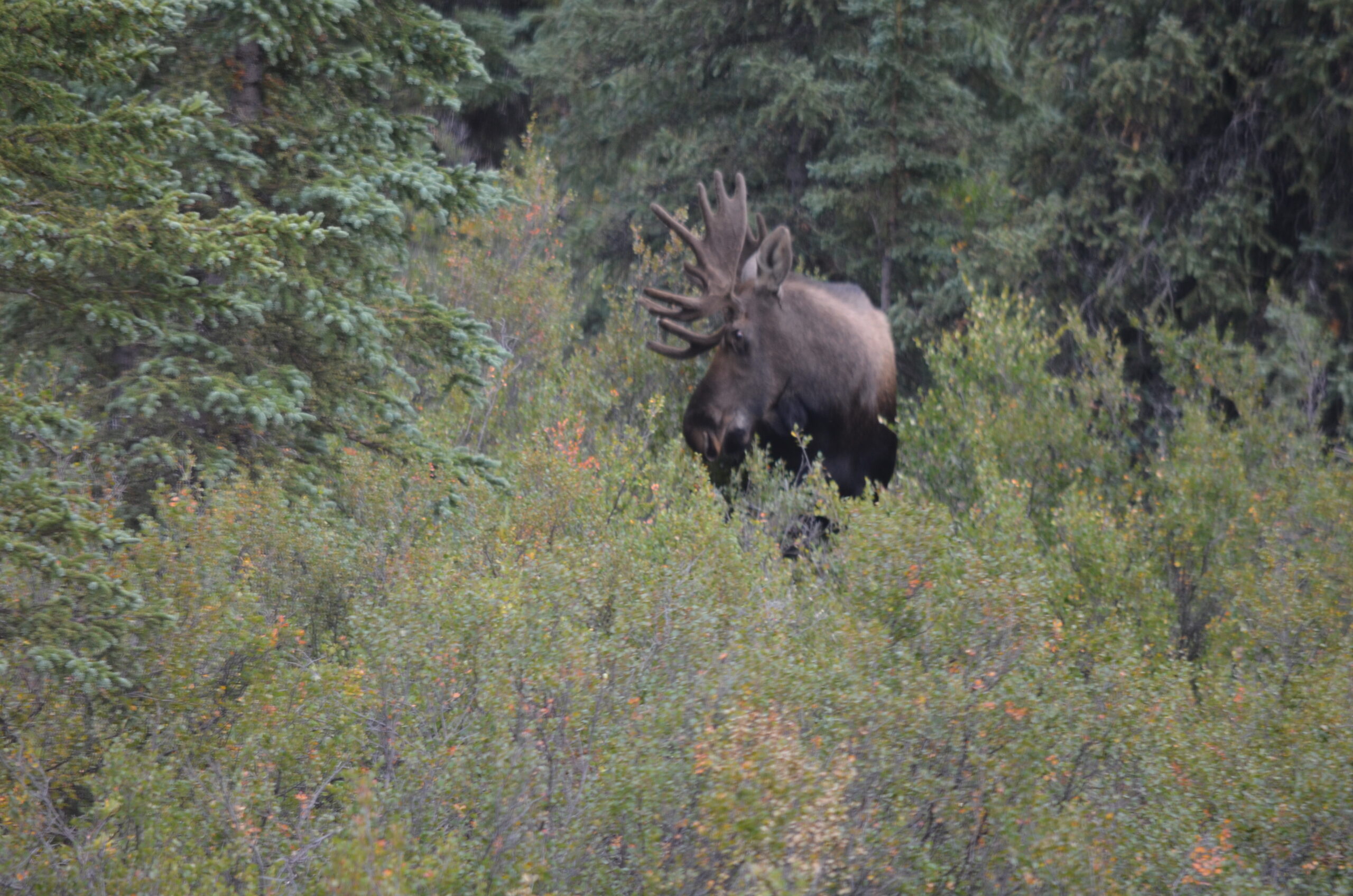
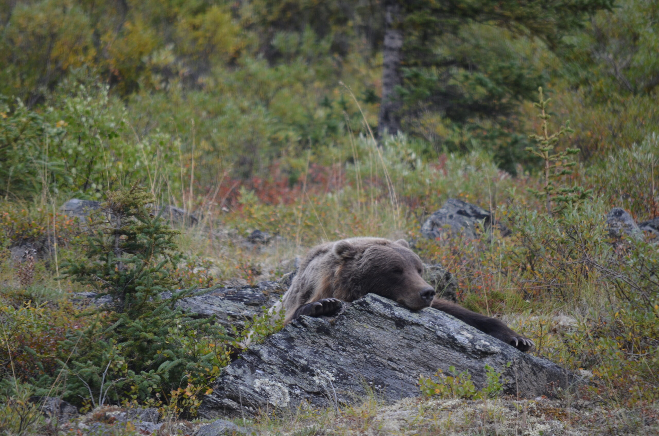
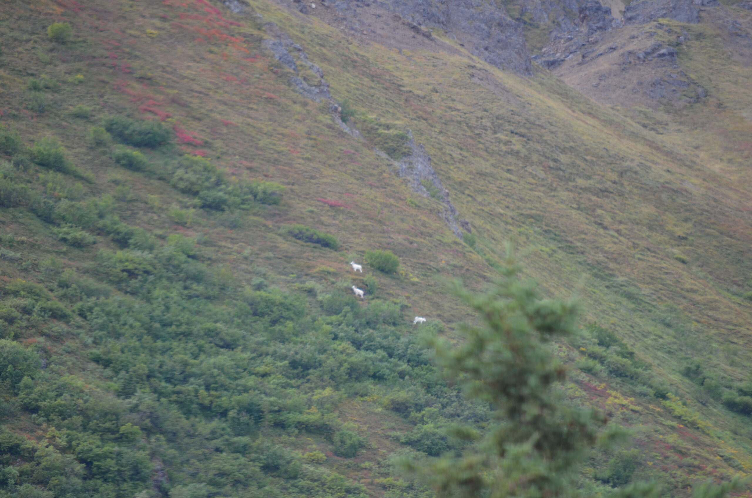
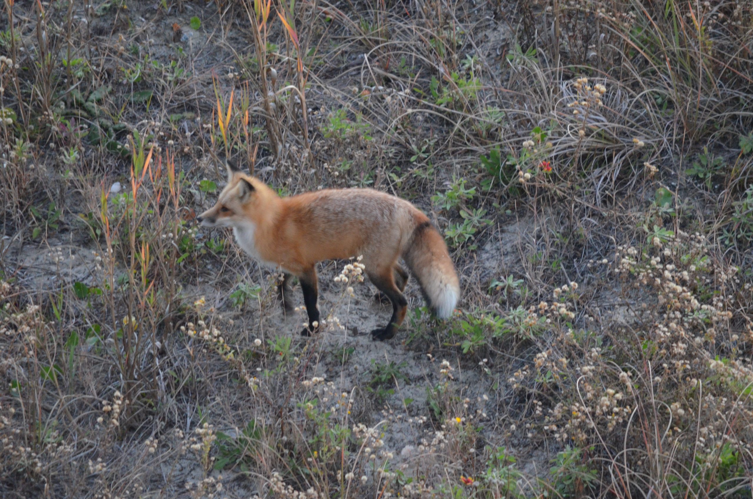
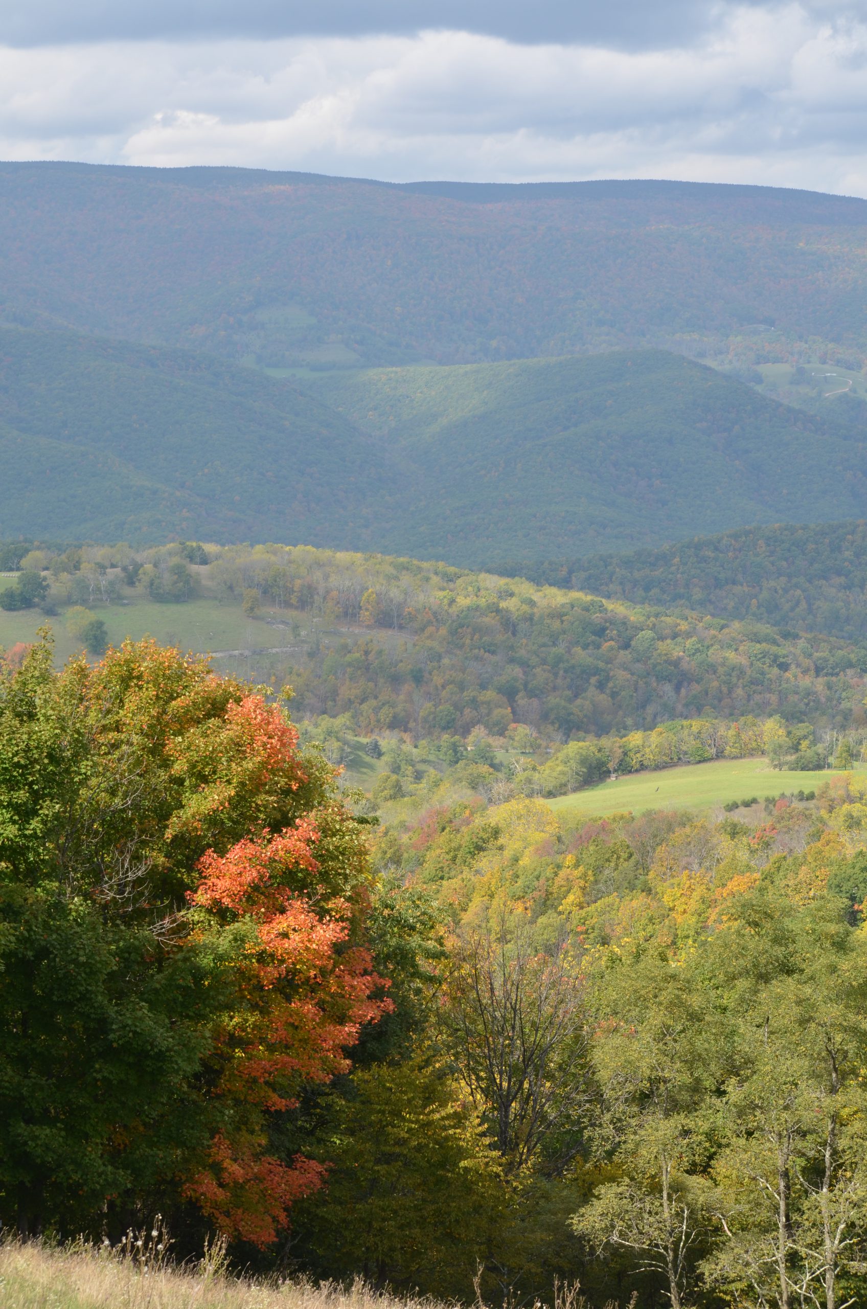
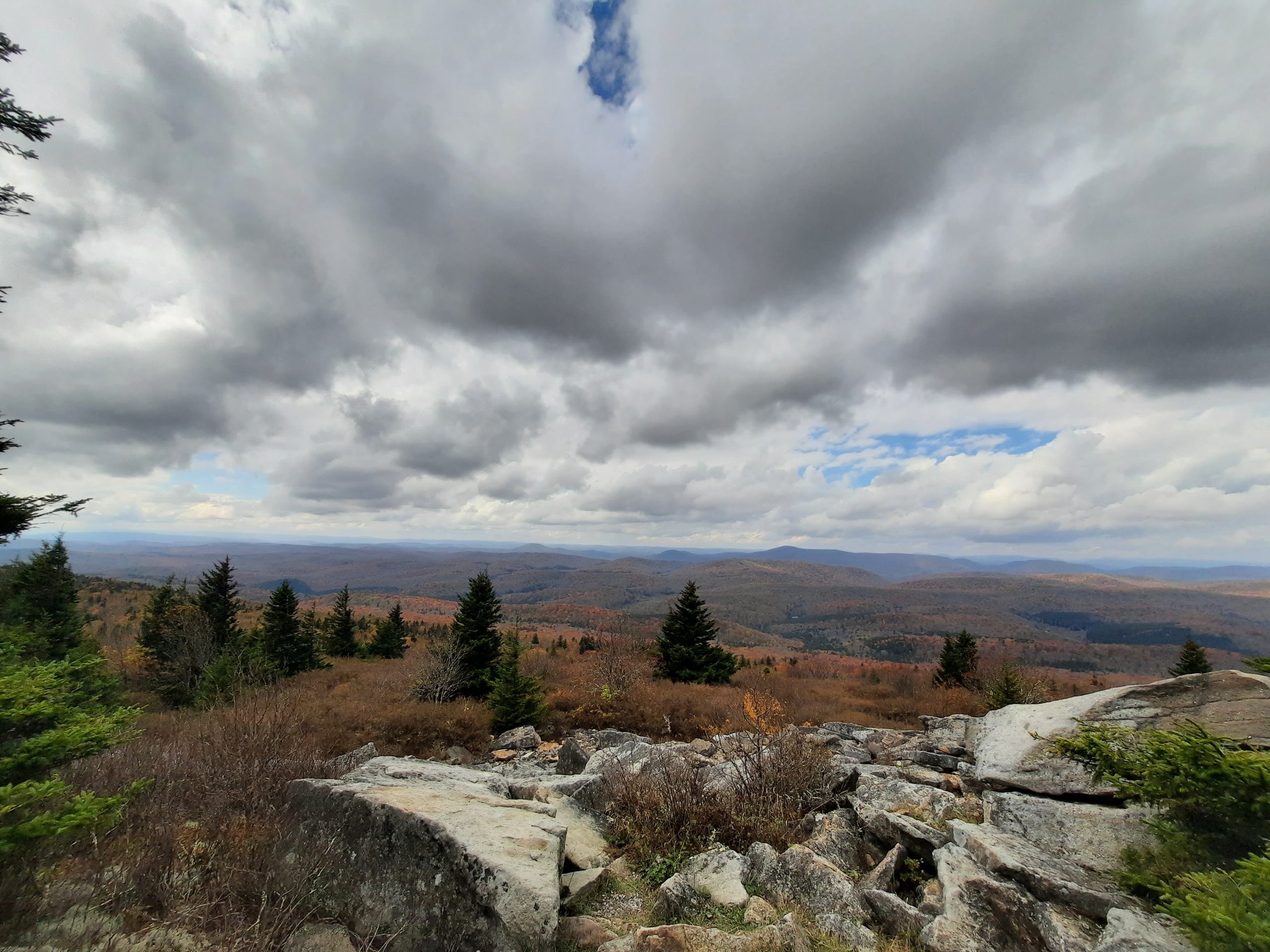
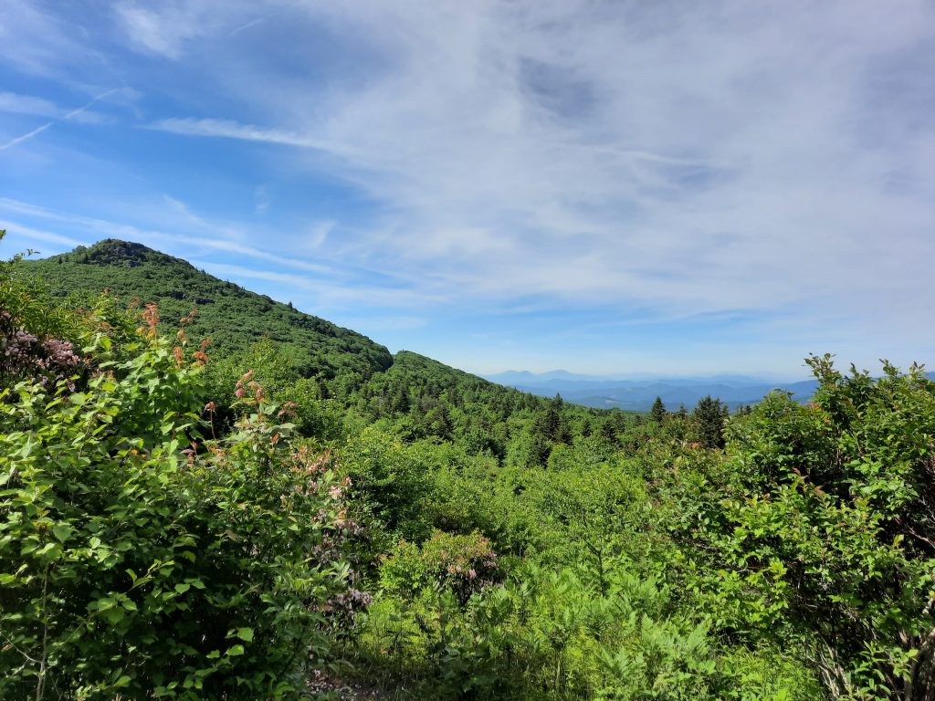
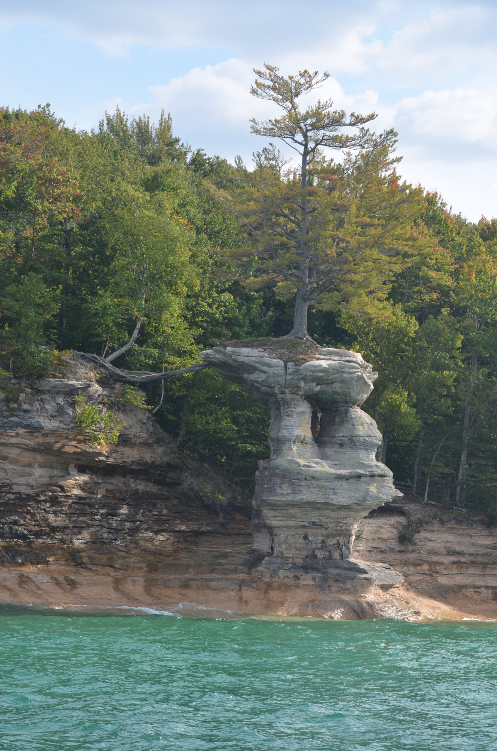
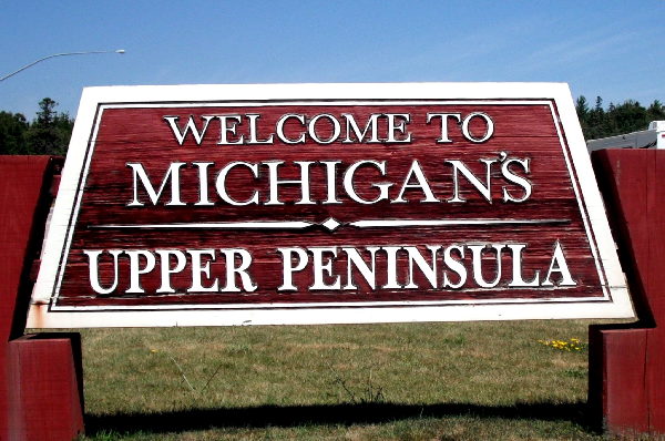
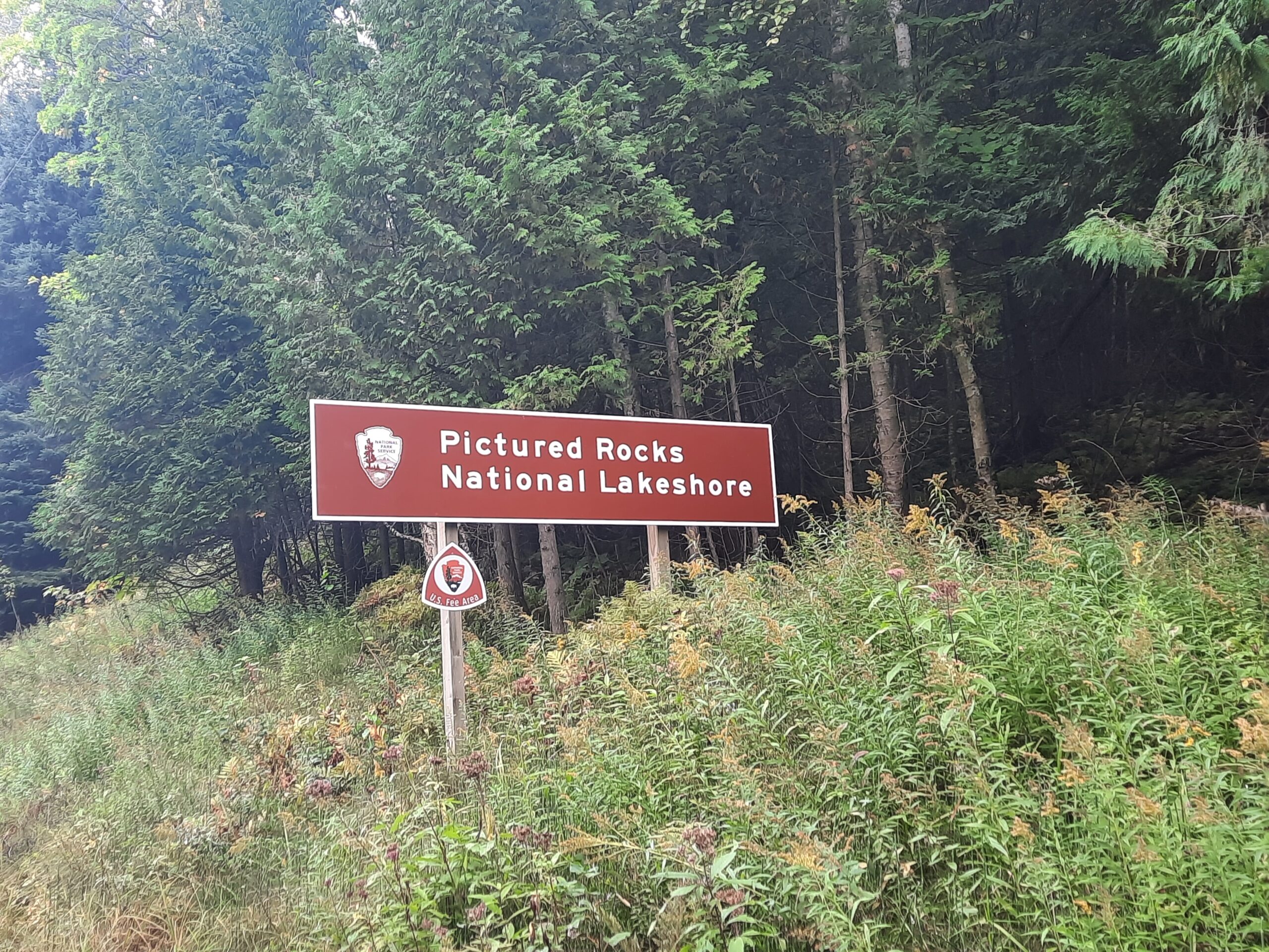
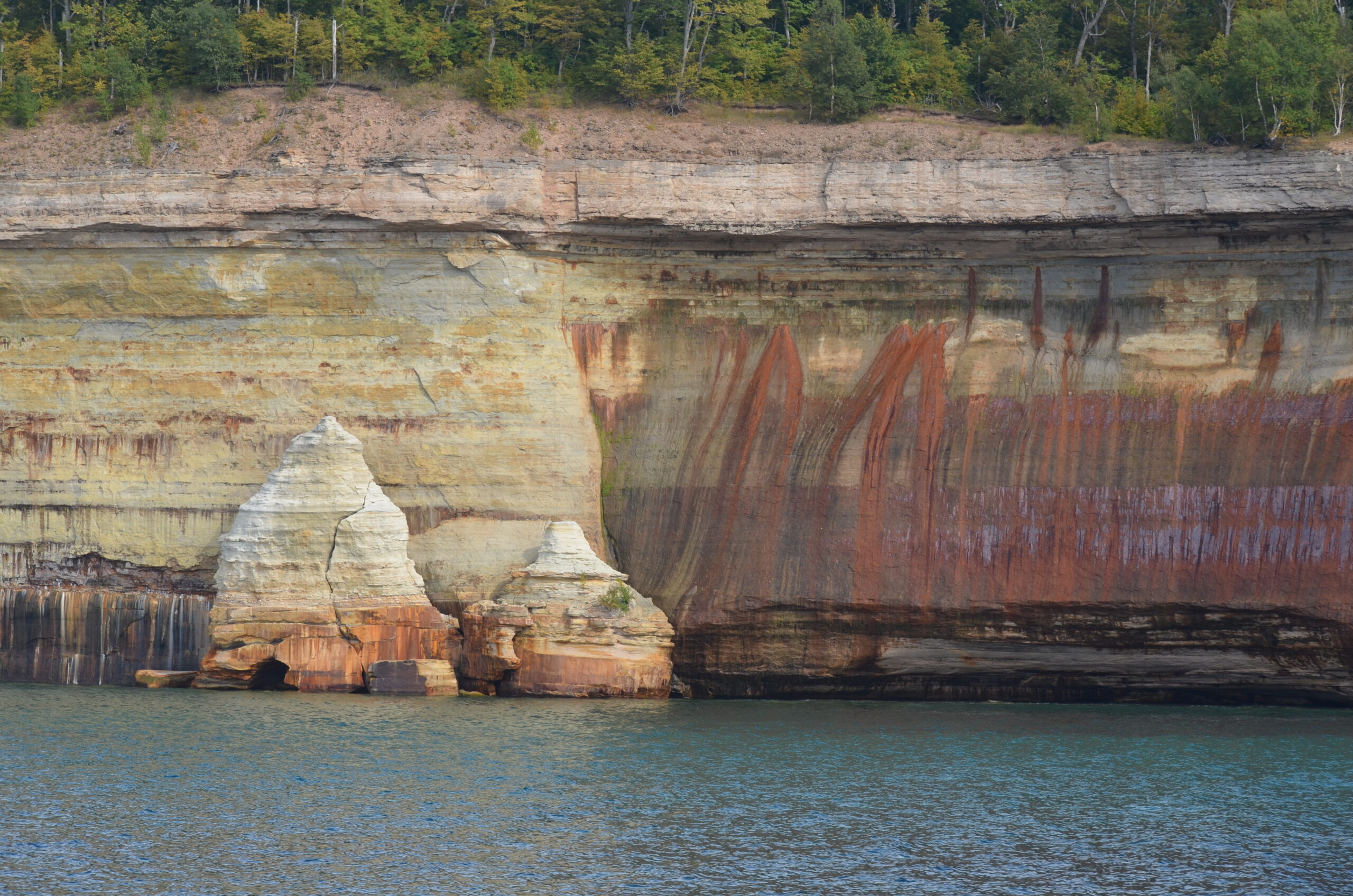
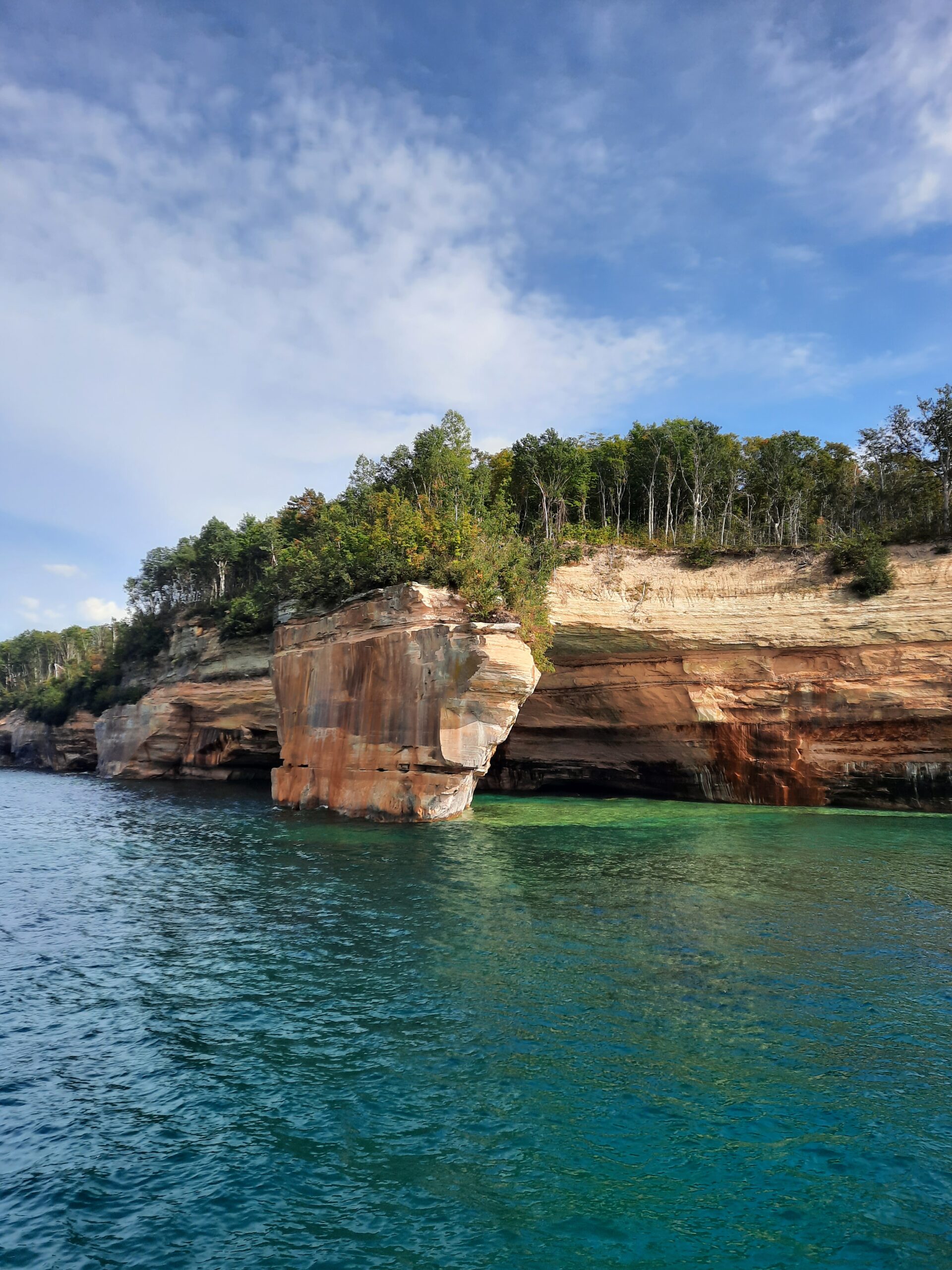
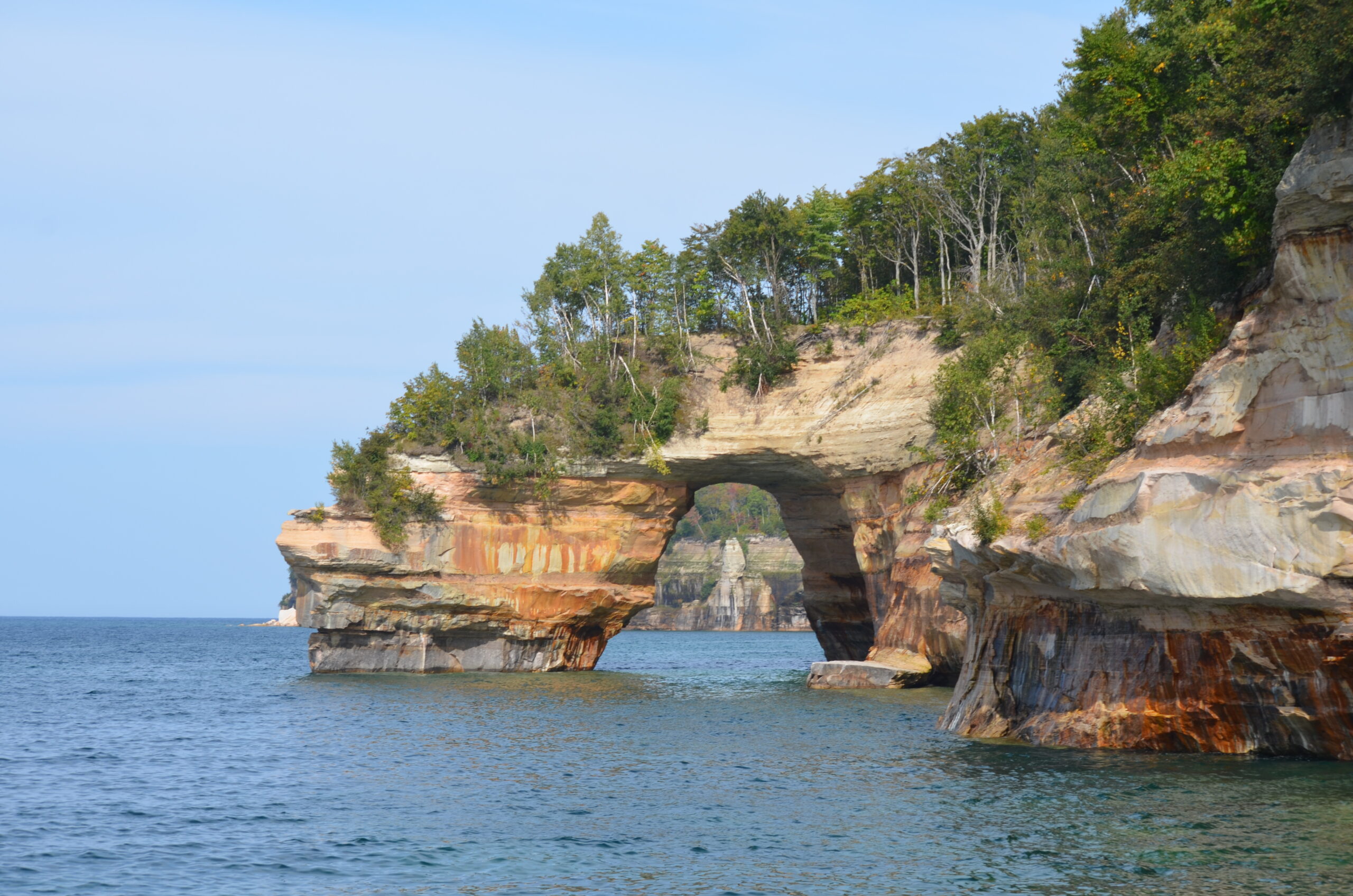
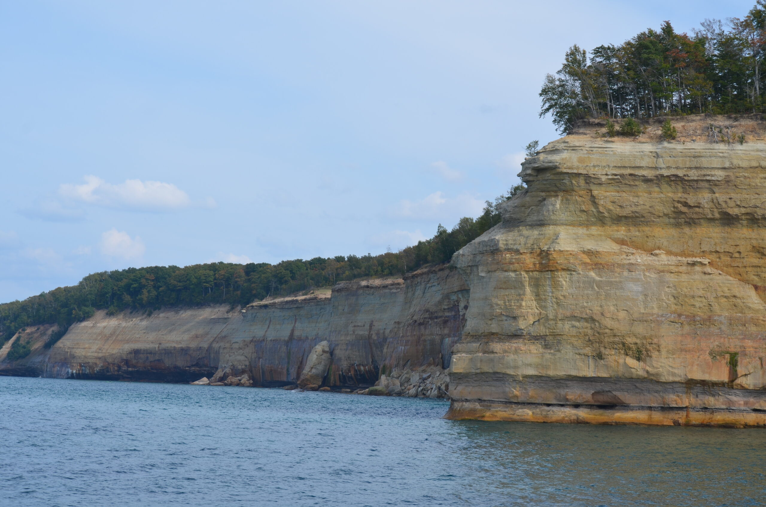
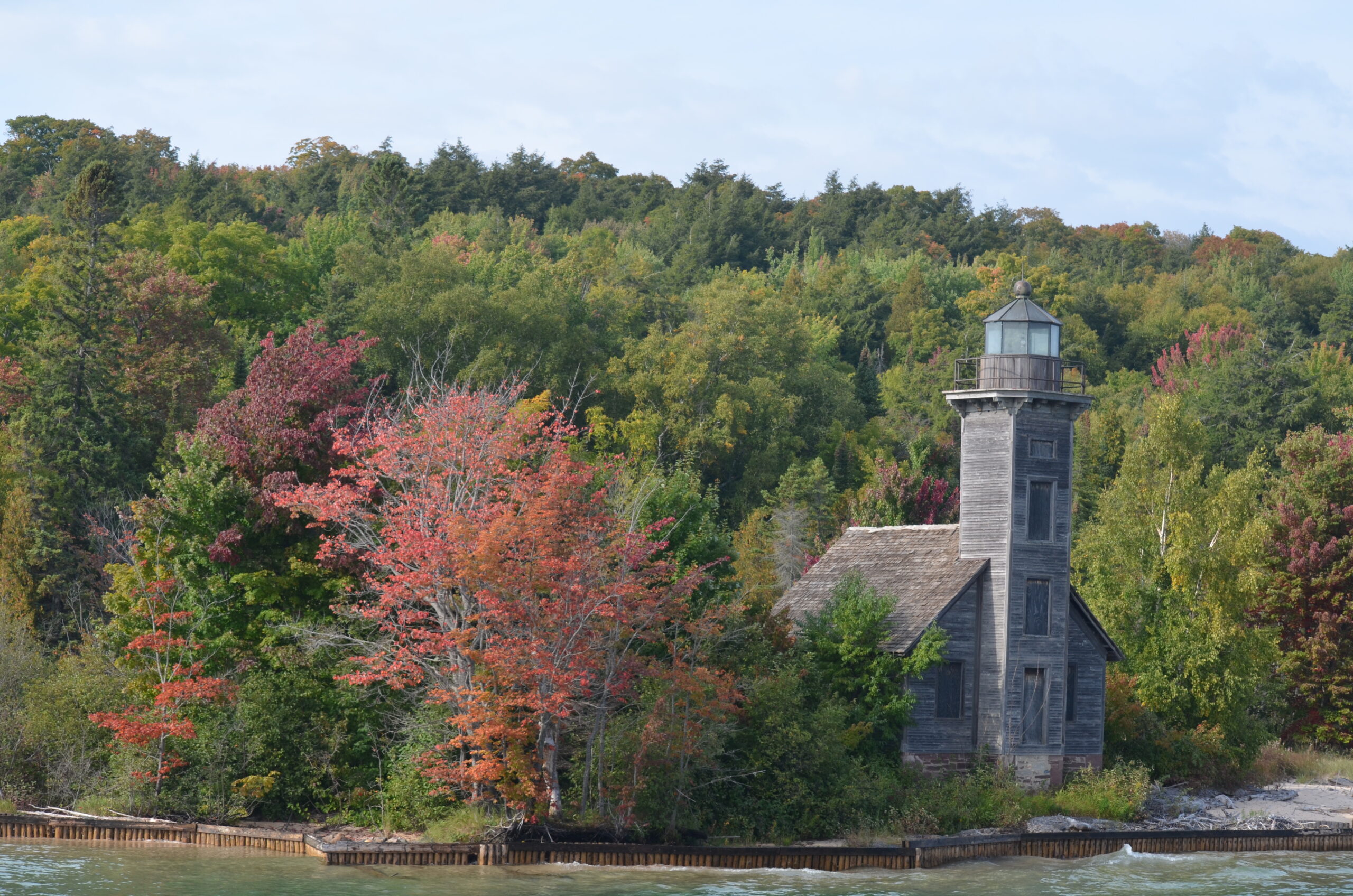
The main focus of our trip was to spend a few days exploring the Upper Peninsula of Michigan. This is a remote, scenic area, so different than the developed, congested region of most of the Lower Peninsula. The residents of the UP (Upper Peninsula) refer to themselves as “Yoopers.” The area is covered by large tracts of National/State Forests and is bordered along its entire northern boundary by Lake Superior, from the border of Minnesota, east, to its connection with Lake Huron in Sault St Marie. One of the most popular attractions here is Pictured Rocks National Lakeshore.
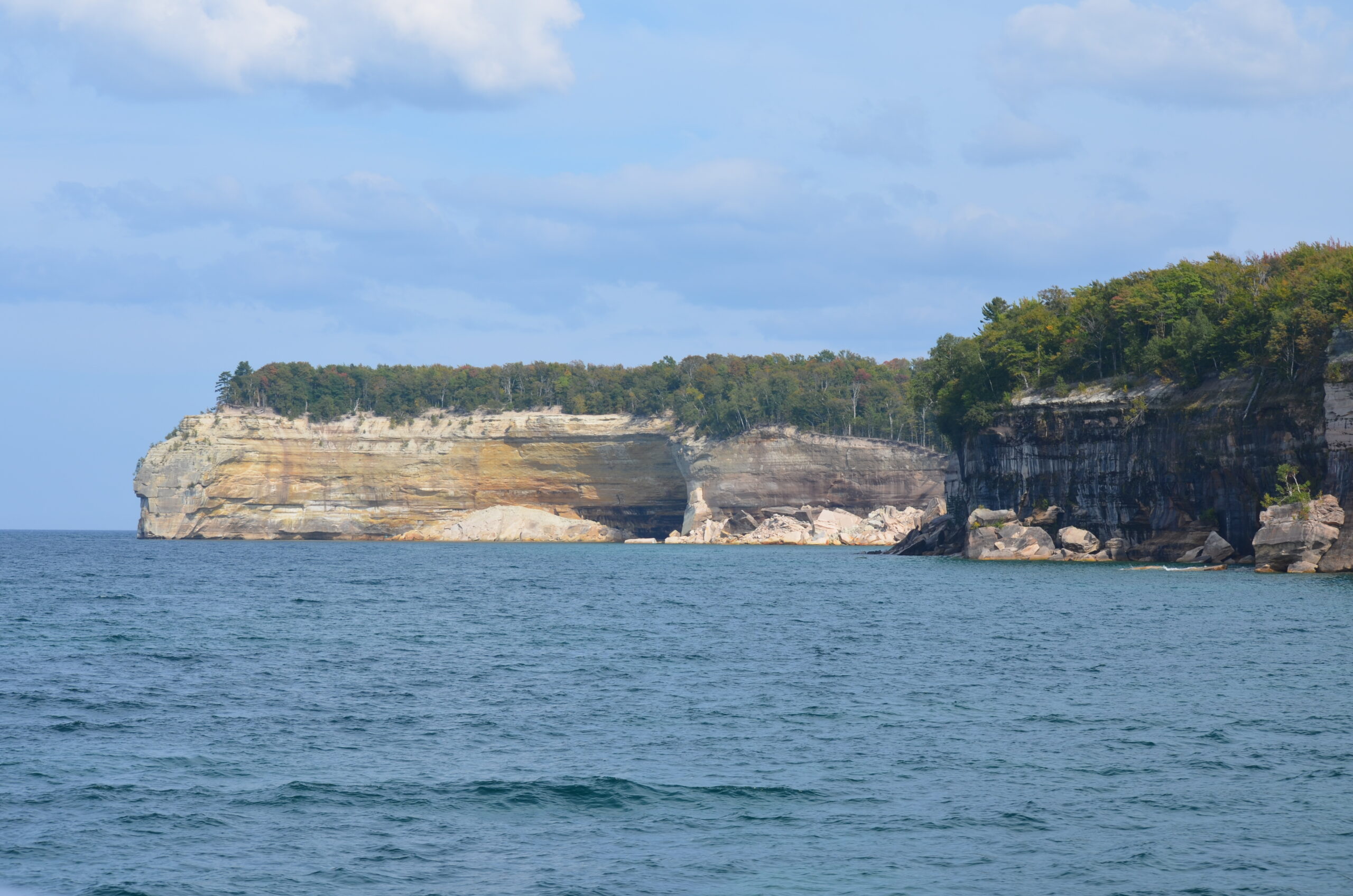
Massive, brightly-colored sandstone bluffs that have eroded and broken off over thousands of years forming dramatic landscapes that can only be seen from offshore. The unique colors are from the many minerals found in the sandstone. The best way, and in most locations, the only way, to view them is by boat, looking back at them. They’re truly majestic looking, and stretch for over 40 miles along the northern shore. The guided boat trip through the cold, clear waters of Lake Superior was terrific, and we won’t forget it!
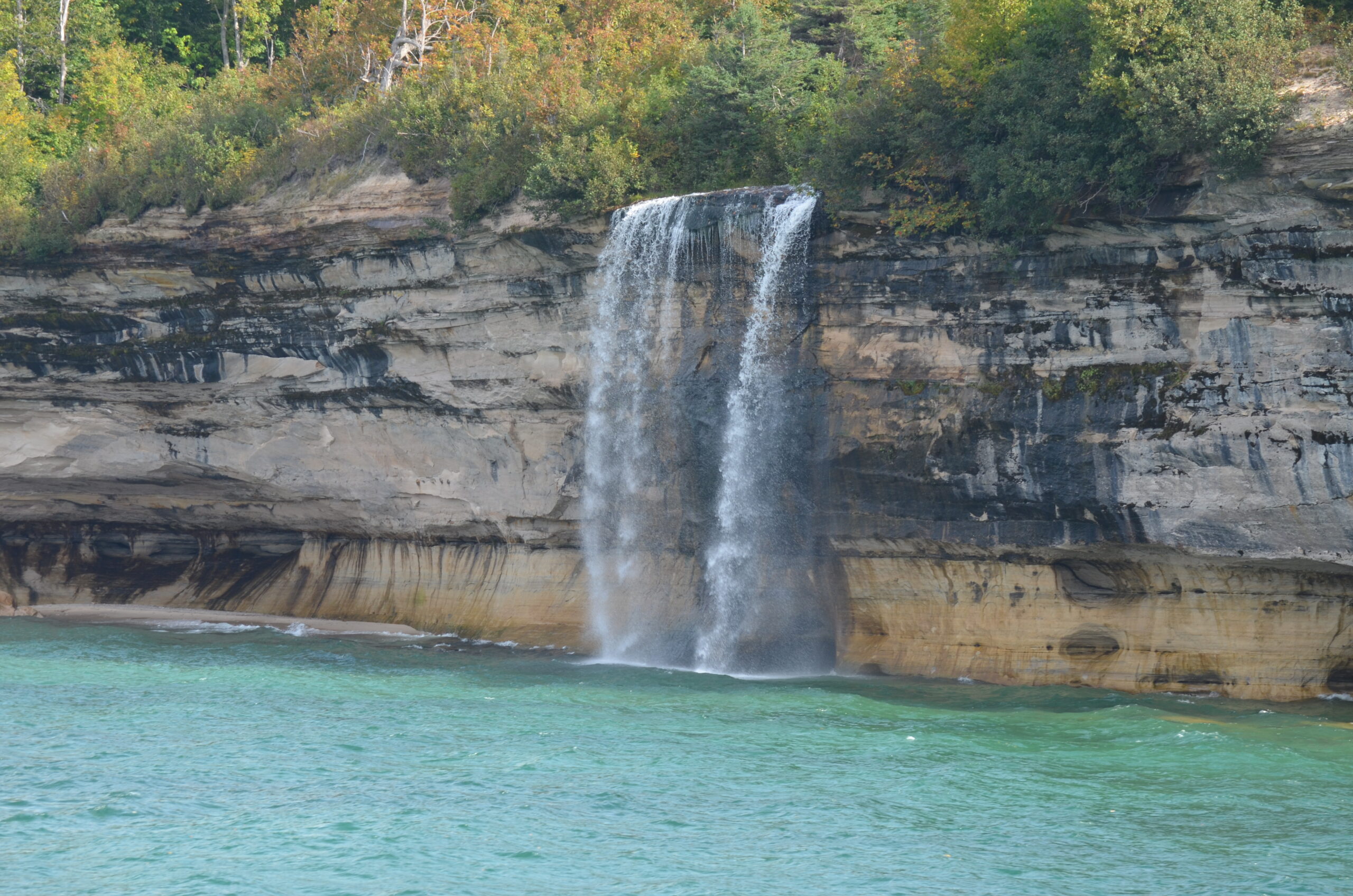
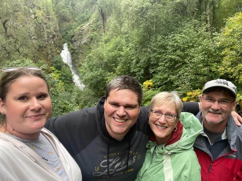
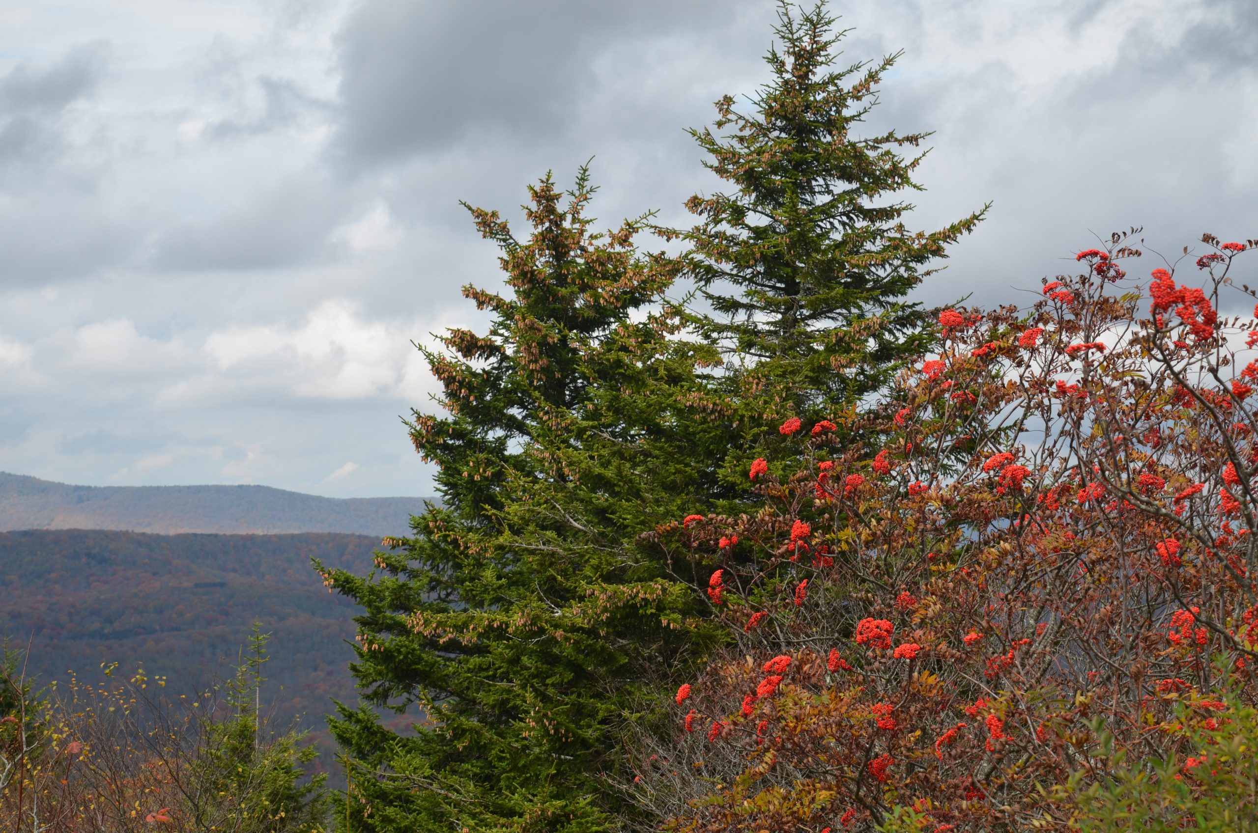
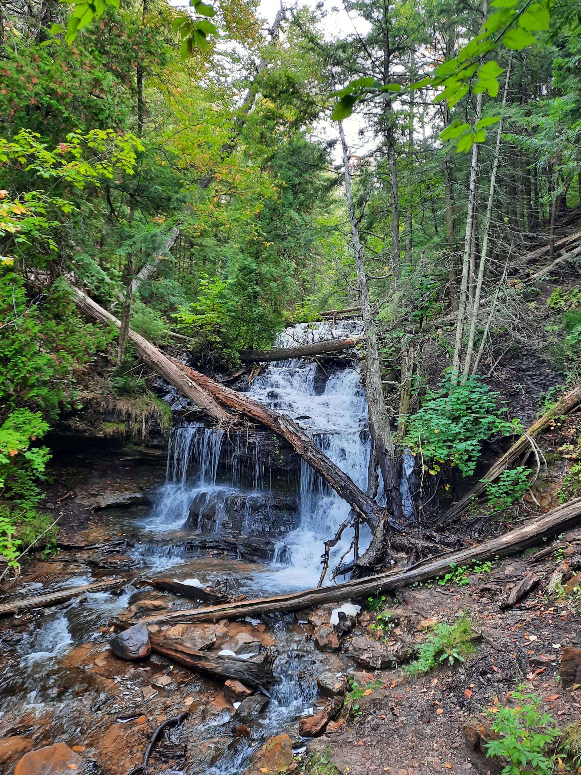
Picture Rocks National Lakeshore is also home to dozens of small waterfalls, found on almost every stream/river that flows into Lake Superior. We visited about 4 different ones, but within an hour’s drive, there’s another 15 that you can check out. With the fall colors, it was a great time to see them.

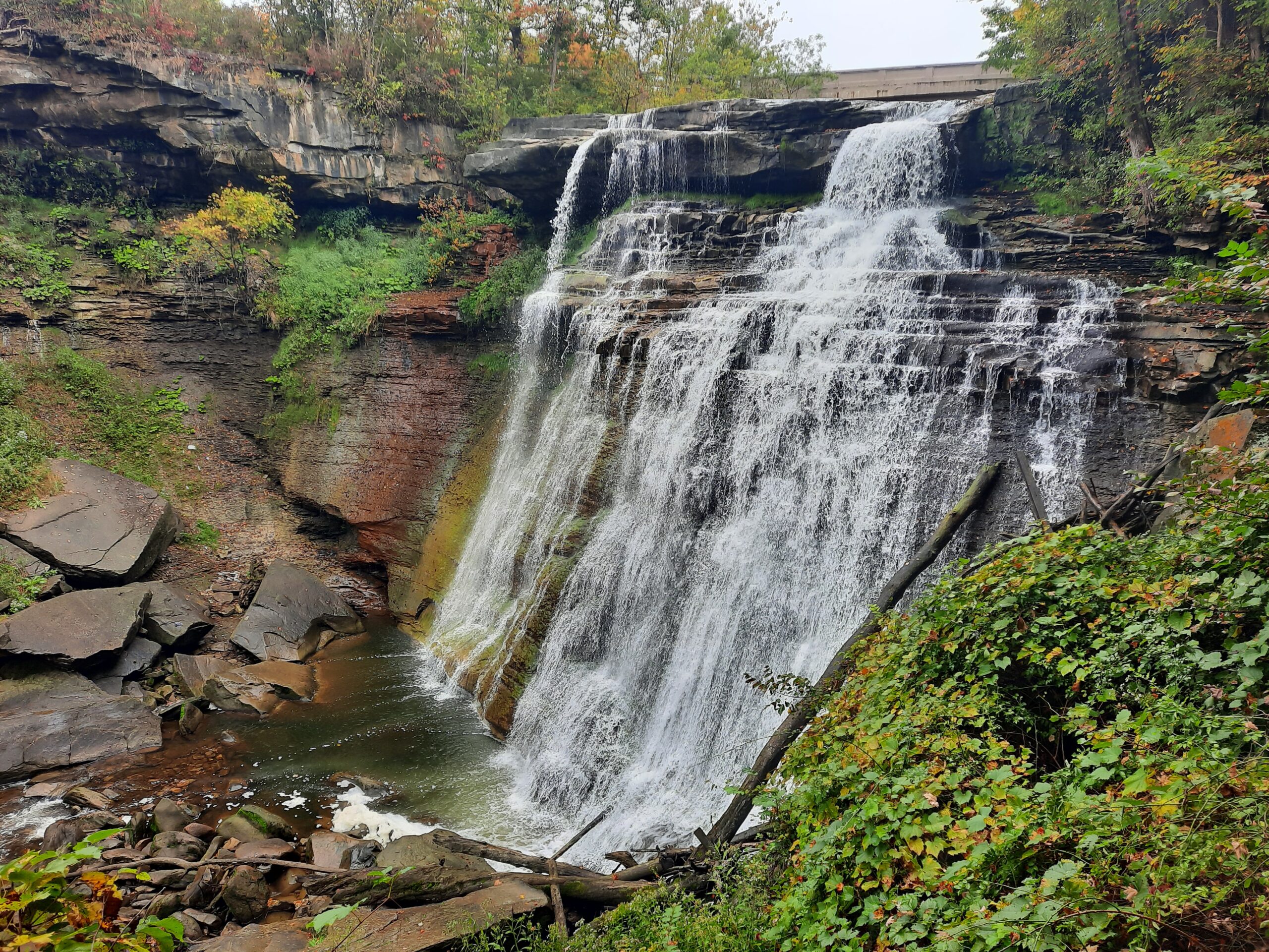
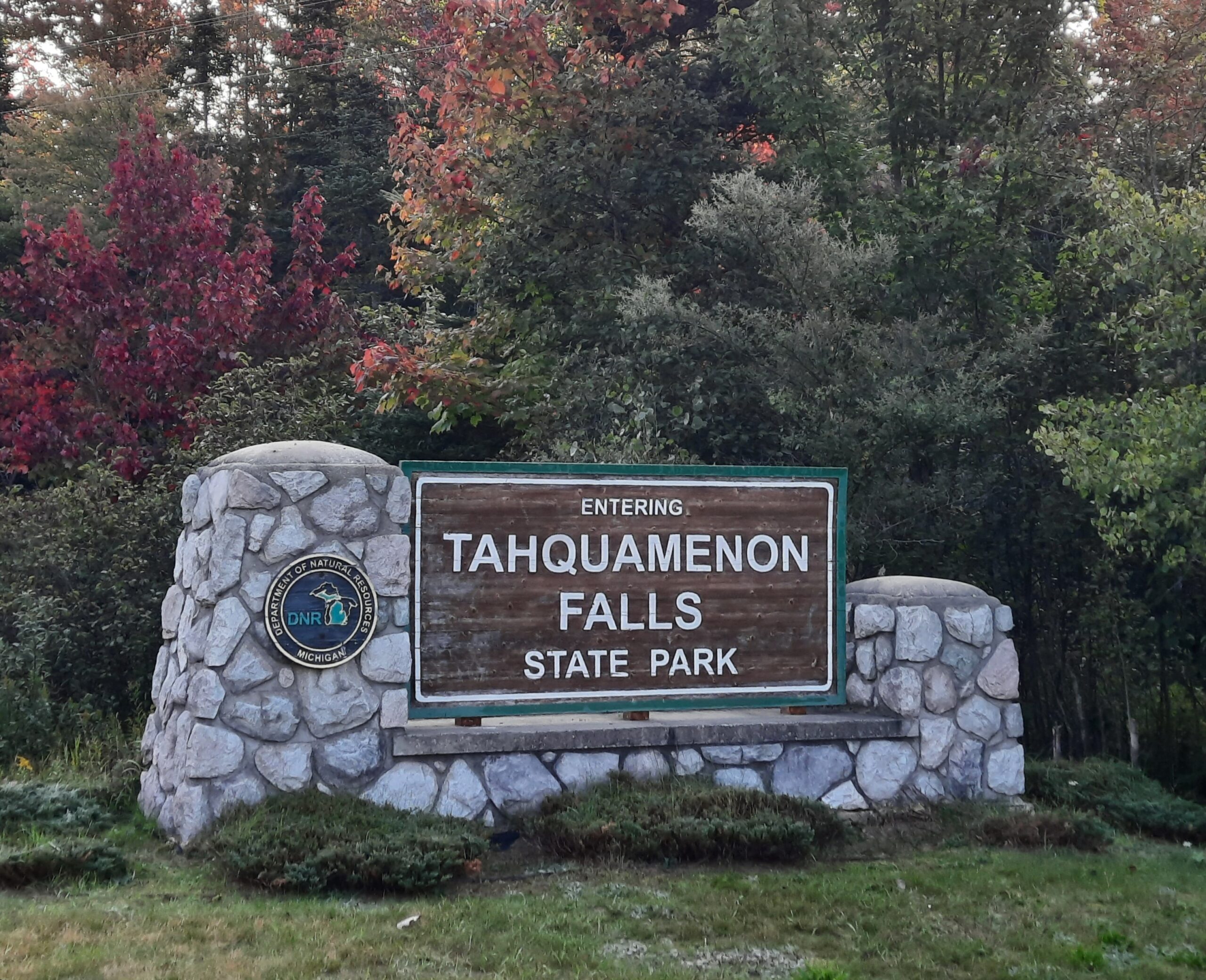
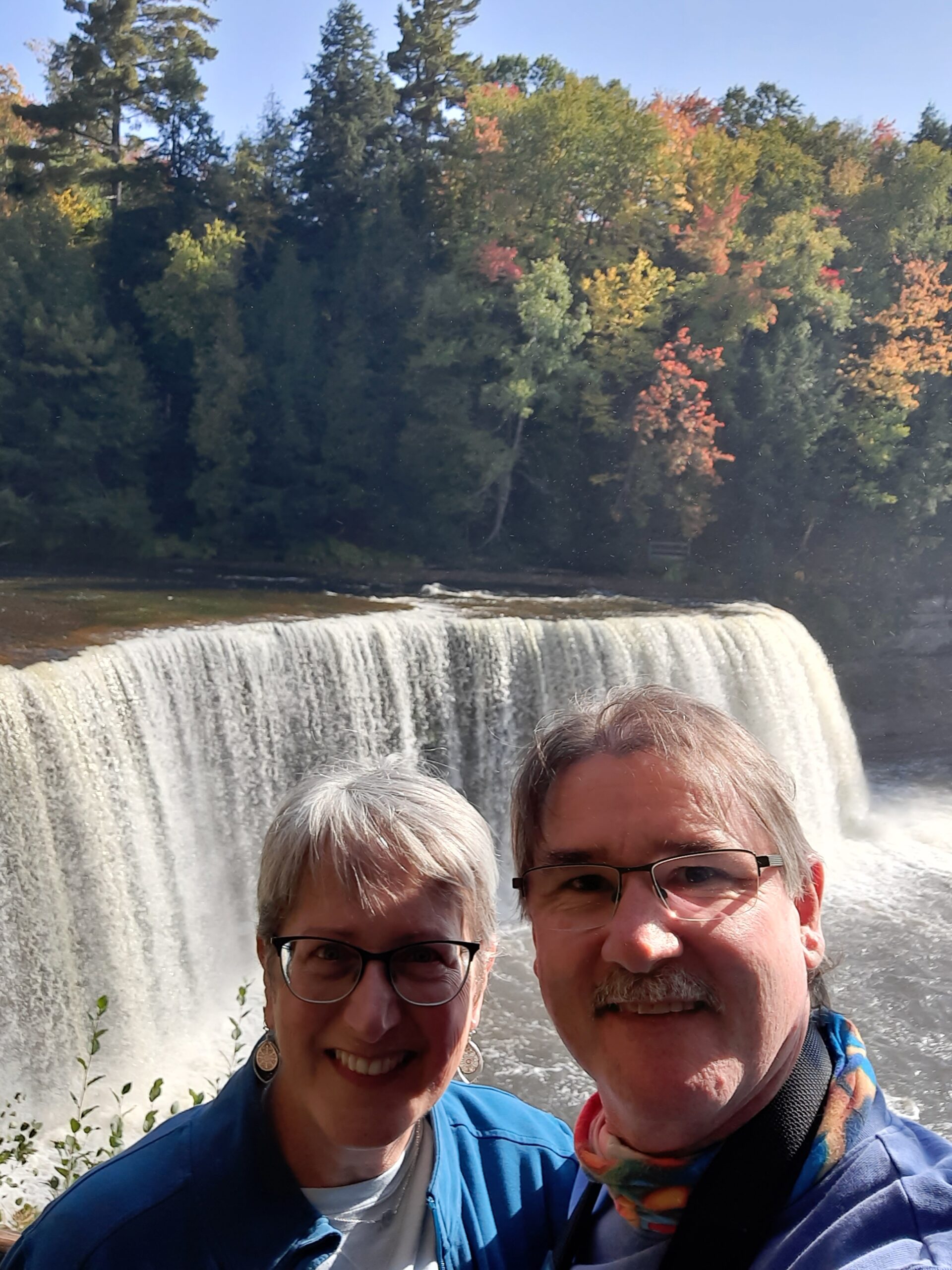
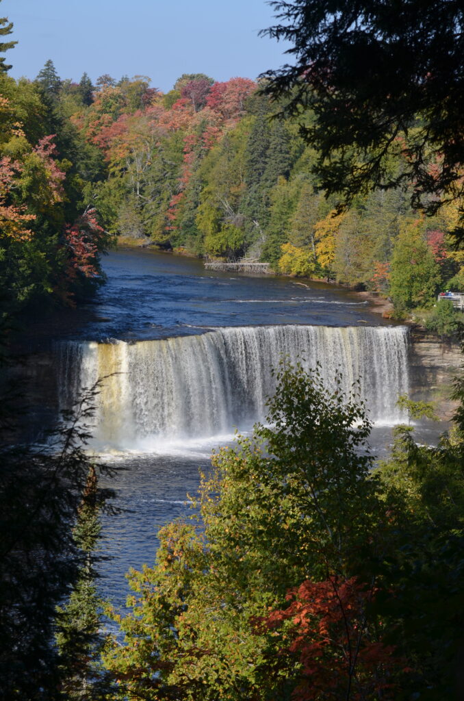
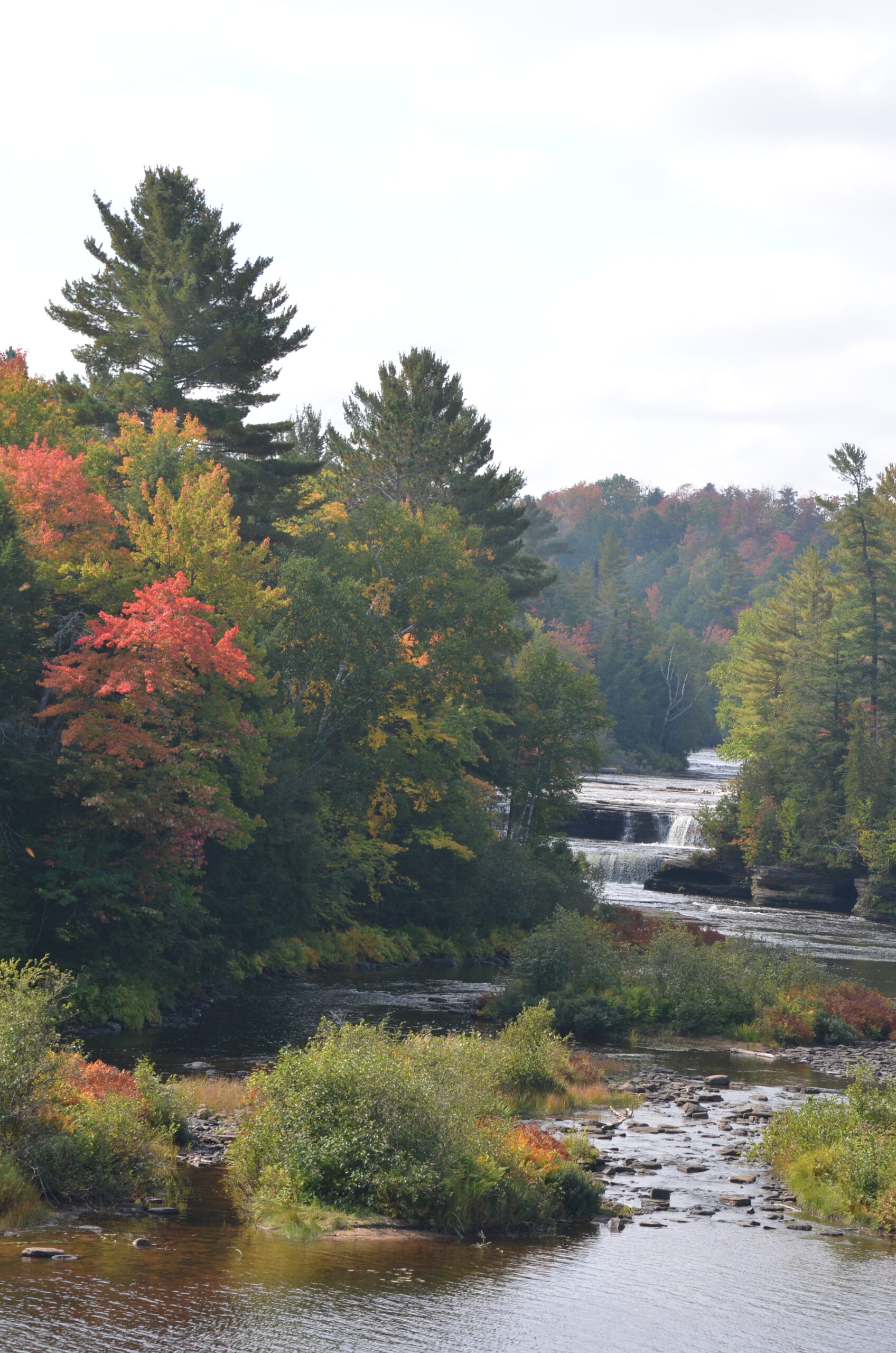
After putting Picture Rocks NL in the rearview mirror, we pushed east, stopping at the beautiful Tahquamenon Falls State Park, which has one of the largest waterfalls east of the Mississippi River. The Upper Falls is over 200 feet wide with a drop of 50 feet. The Lower Falls is actually a series of five smaller falls cascading around an island. The scenery was fantastic, with the autumn colors bordering the Tahquamenon River. If you venture up this way, don’t pass up this spectacular state park!
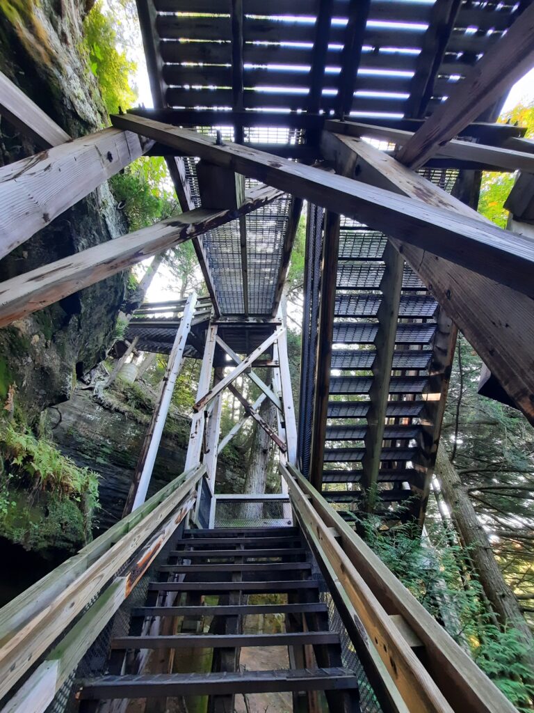
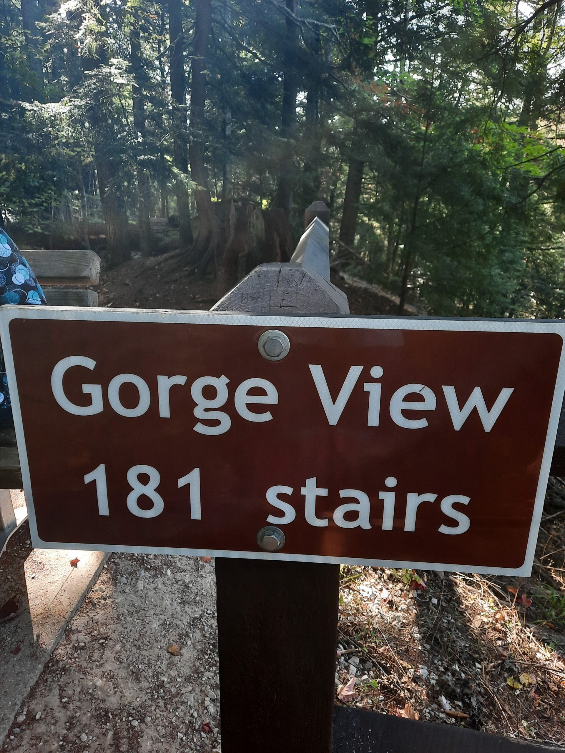
The steps down to the Lower Falls 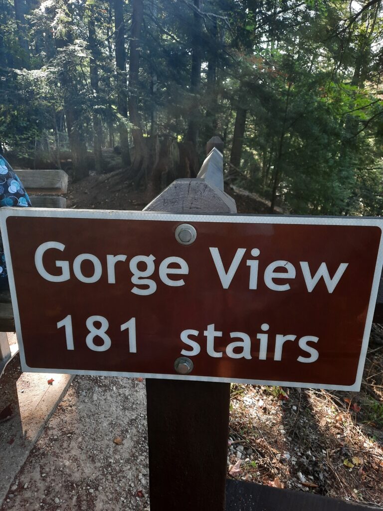
Upper Falls 
Lower Falls


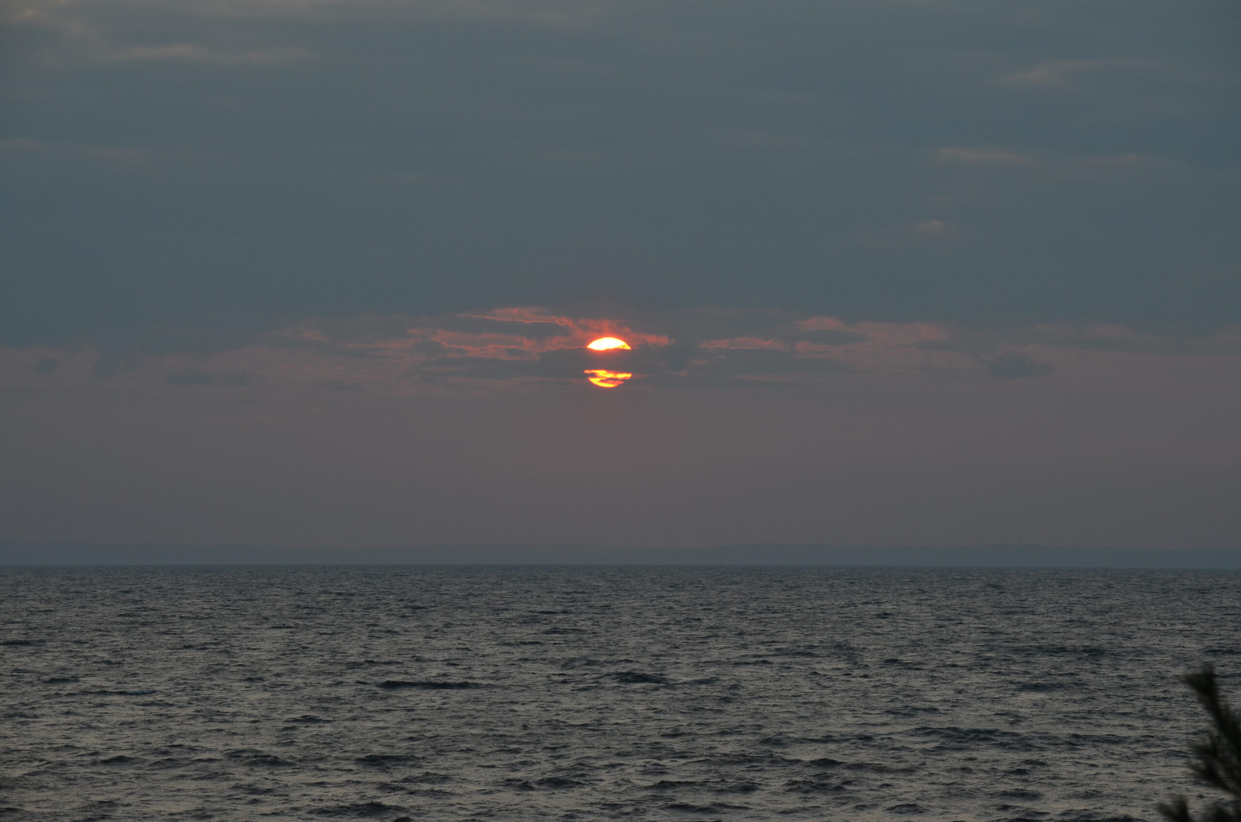
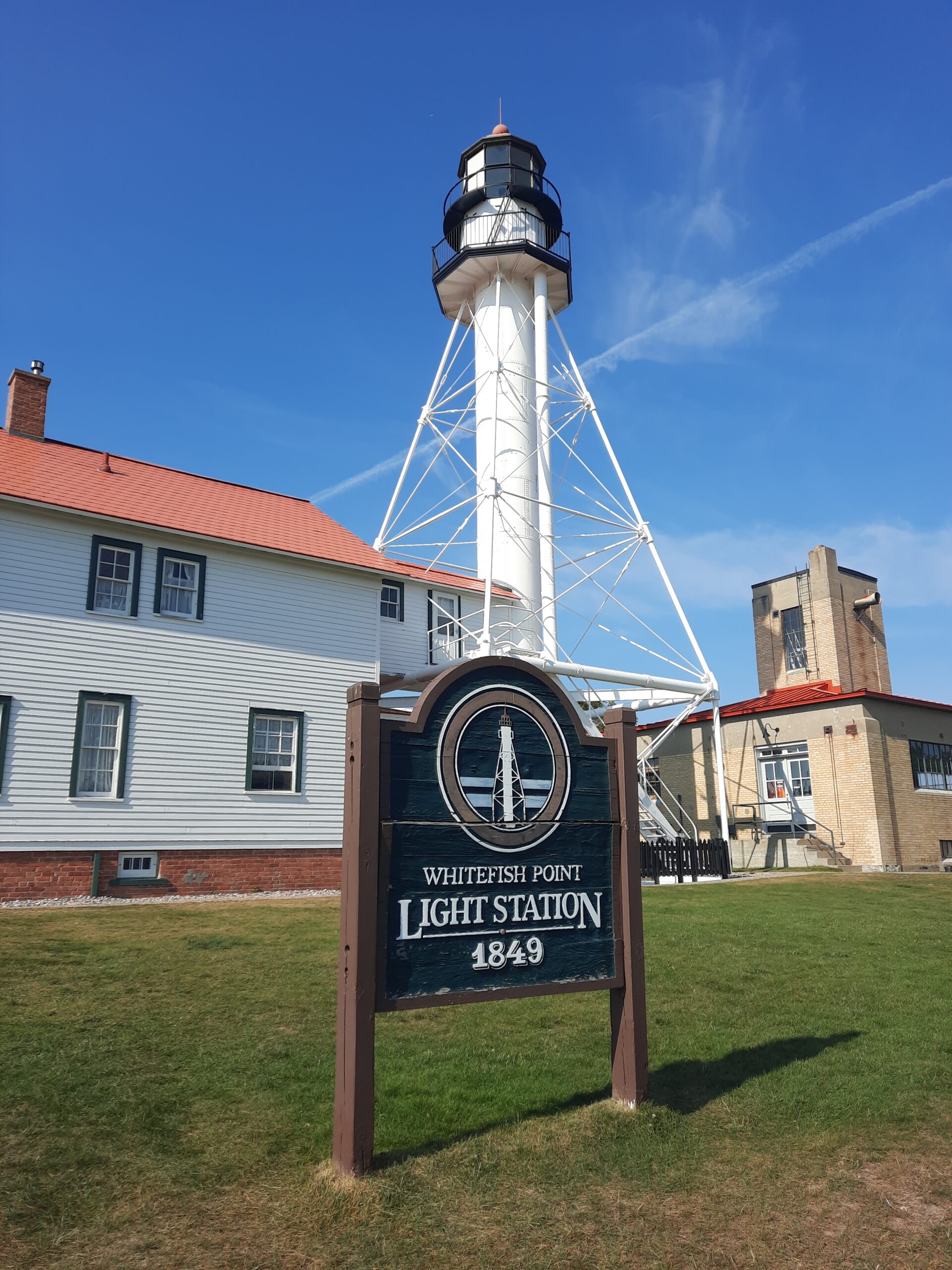
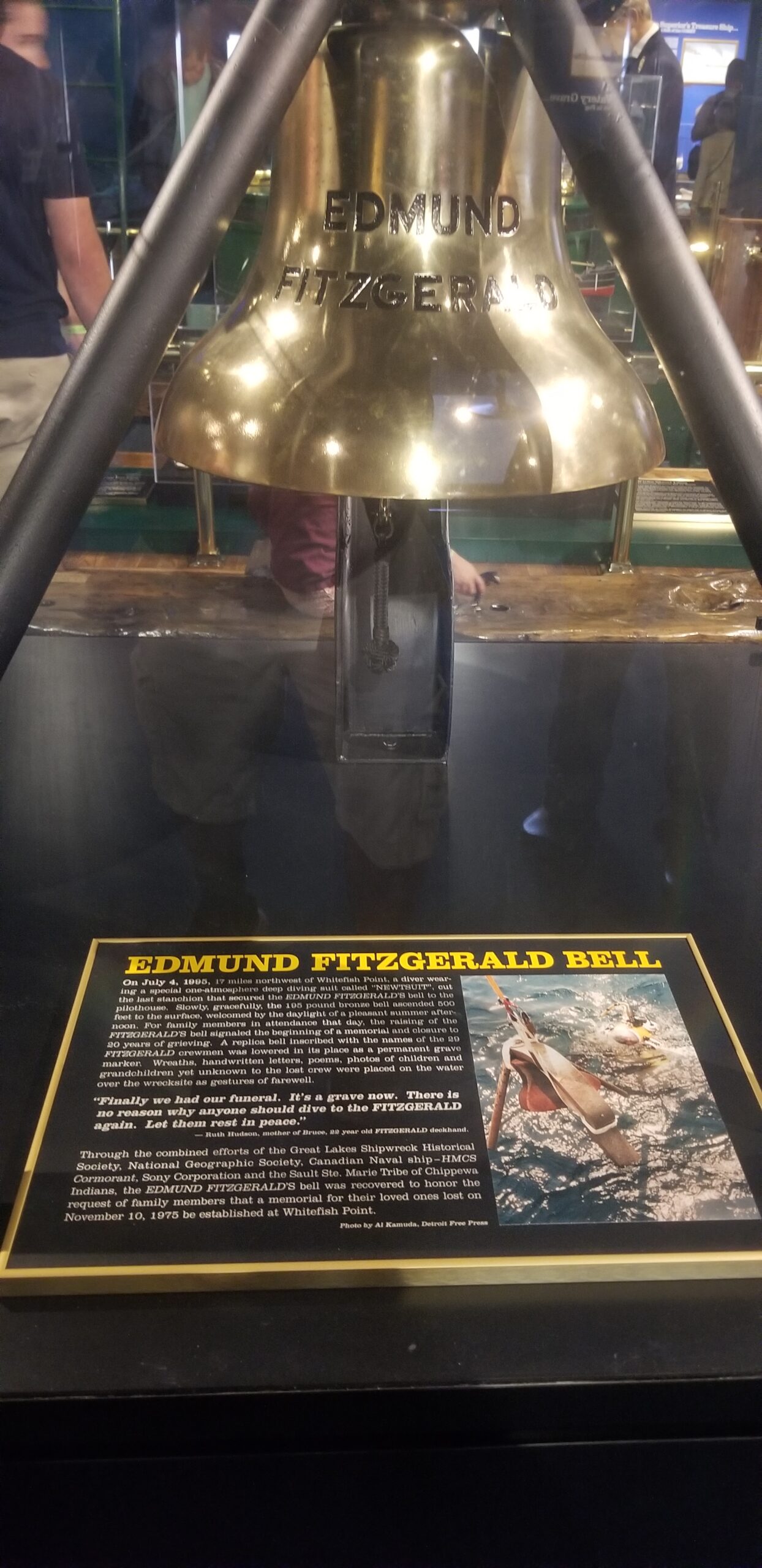
Our next stop was Whitefish Point. Whitefish Point is located at the extreme southeastern end of Lake Superior. It is a critical turning point for all vessel traffic entering and leaving this largest of all the Great Lakes. Whitefish Point marks the eastern end of a notorious 80-mile stretch of shoreline from here west to Munising, Michigan, known ominously as Lake Superior’s Shipwreck Coast. Of the 550 known major shipwrecks lying on the bottom of the lake, at least 200 of them are in the vicinity of Whitefish Point. The primary causes of shipwrecks here are stress of weather and collision; the 1975 loss of the steamer Edmund Fitzgerald with her entire crew of 29 has become a world-wide legend. The wreck of the Fitzgerald lies just 15 miles northwest of Whitefish Point.
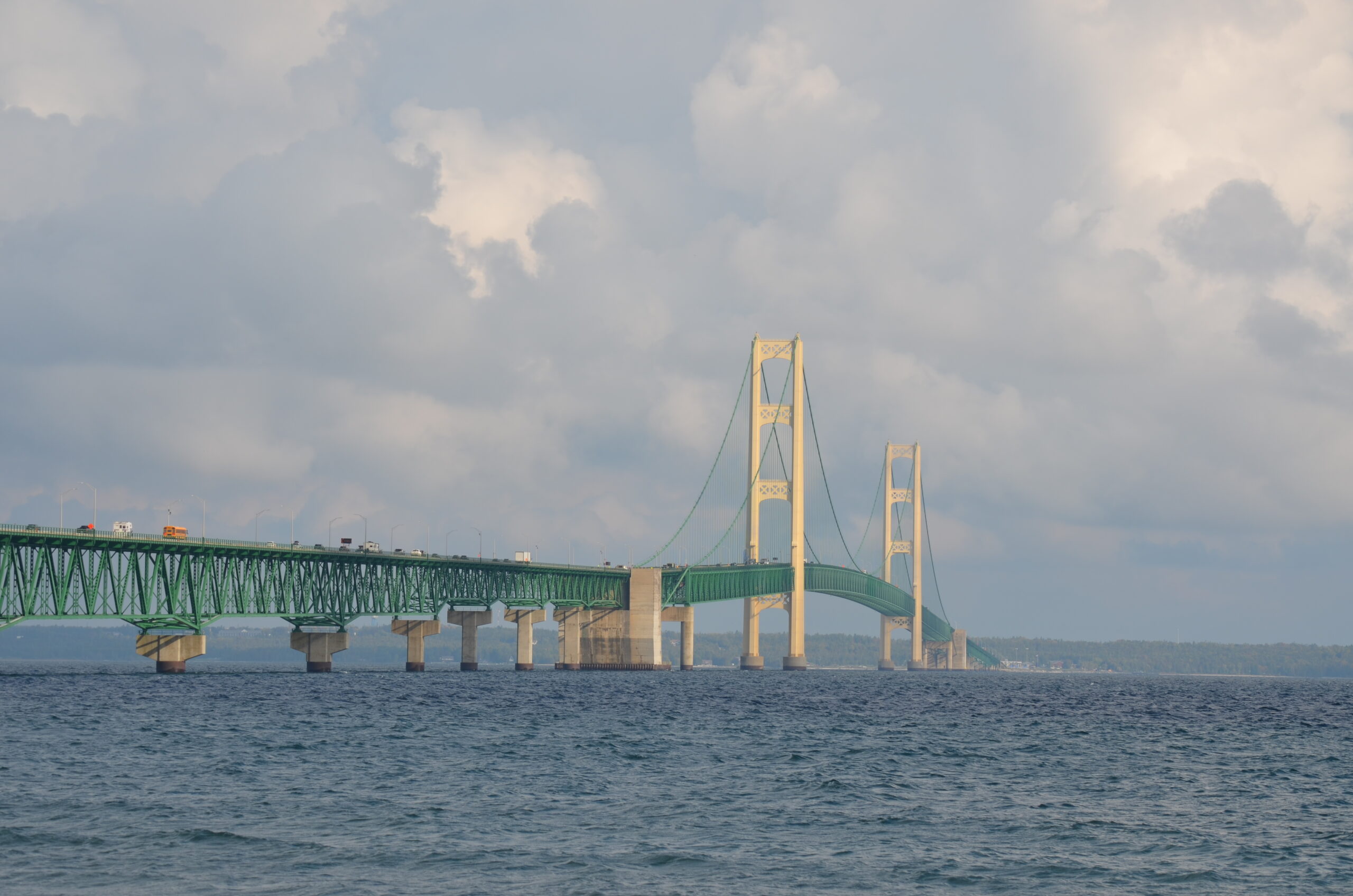
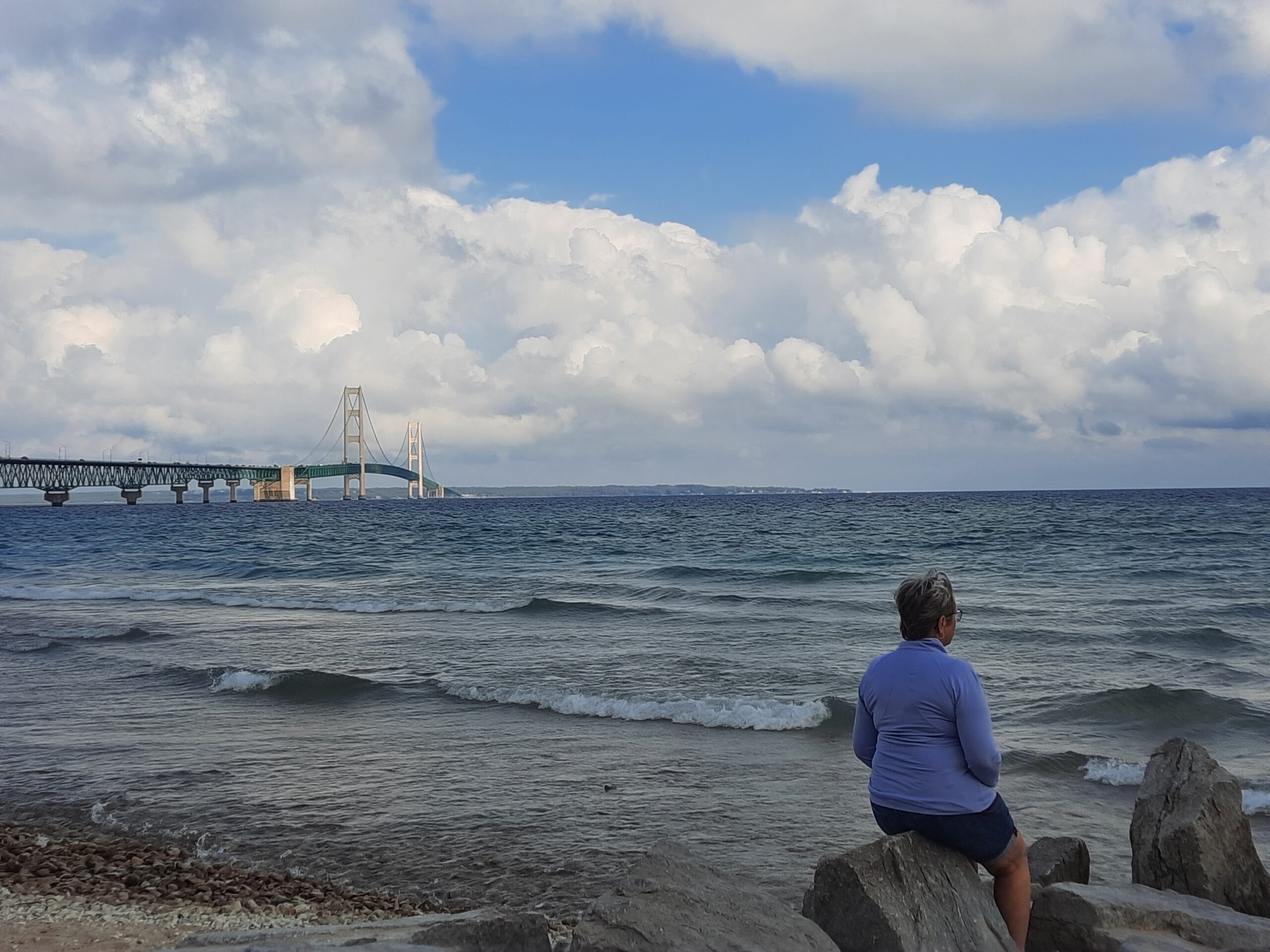
As we moved back south, we stopped for a quick break in Mackinaw City to take a few photos of the impressive Mackinac Bridge that we had just crossed. This 3,800-ft long, 552-ft high suspension bridge connects the Upper and Lower peninsulas of Michigan. It spans the Straits of Mackinac, the body of water connecting Lake Michigan and Lake Huron. It’s an engineering marvel! But our next stop would be a bit more challenging!
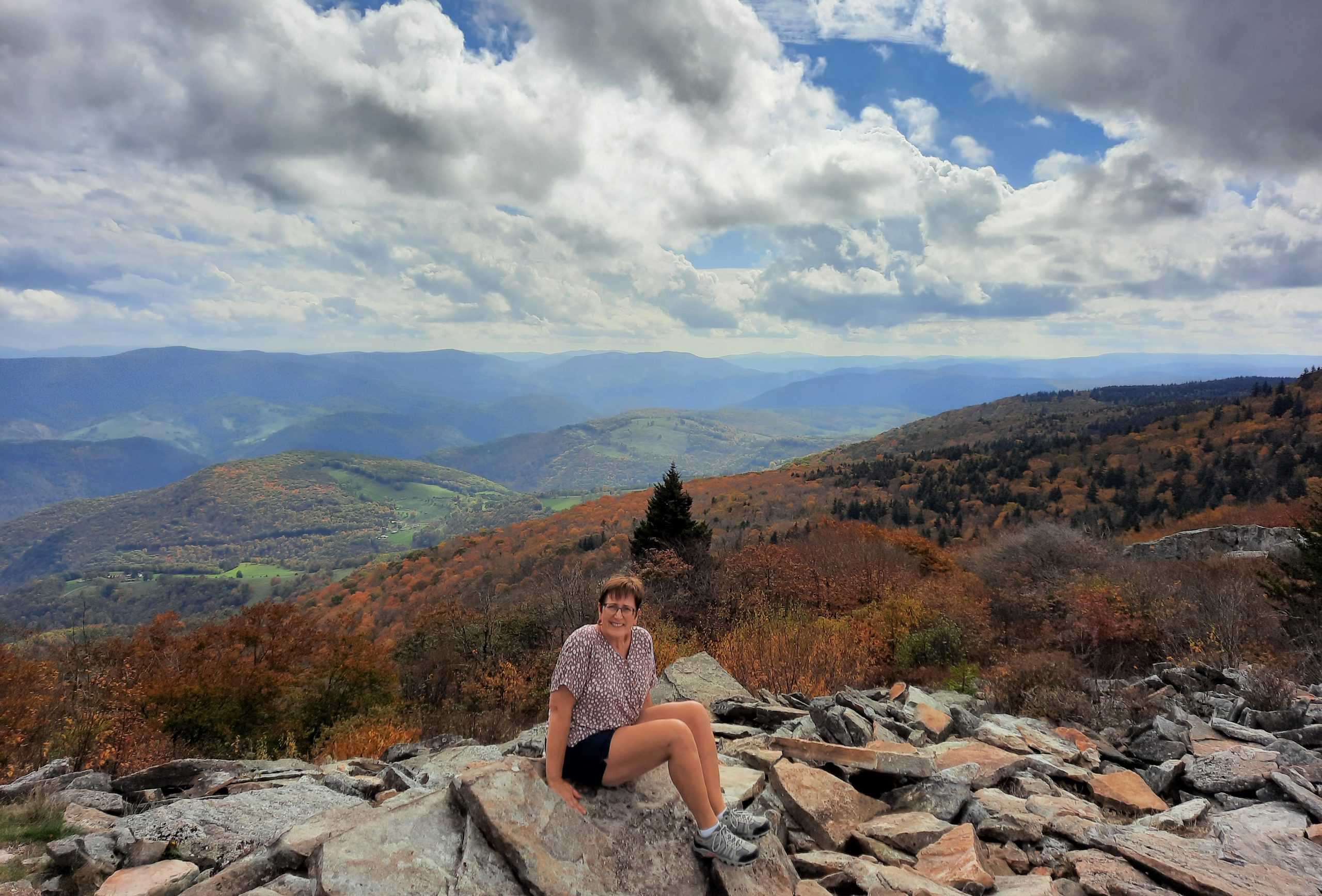
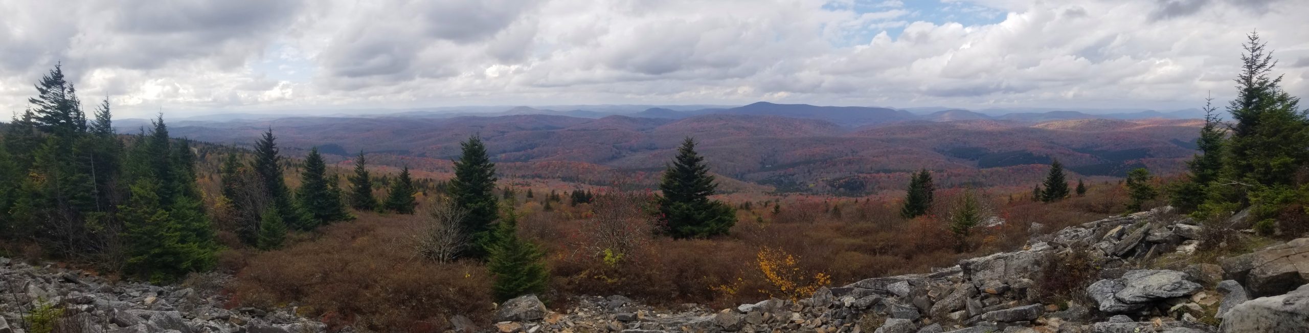
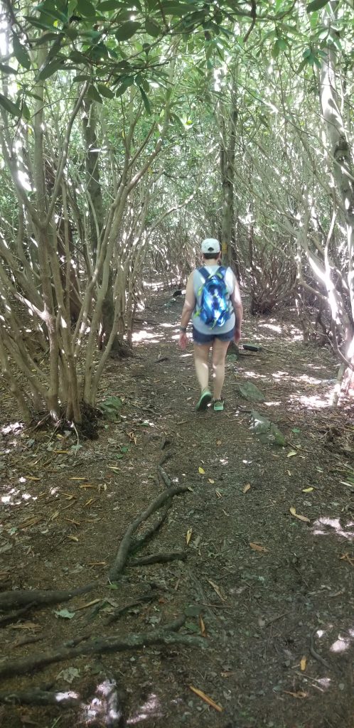
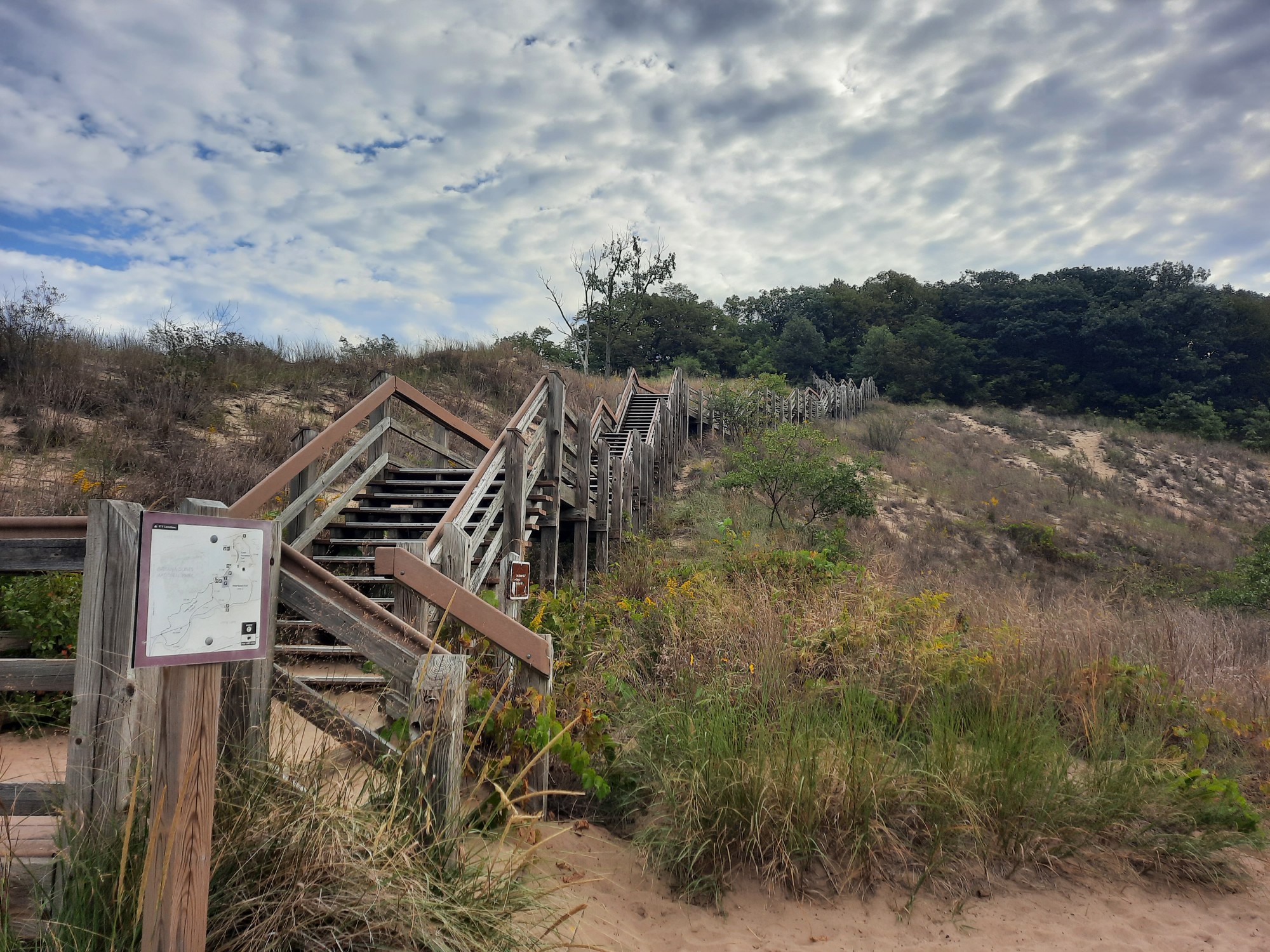
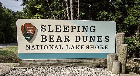
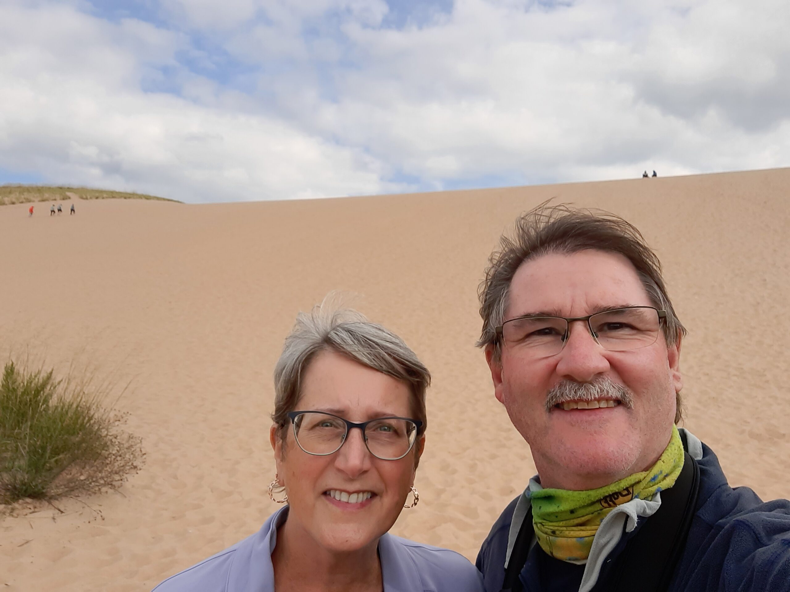
It was late afternoon when we arrived at Sleeping Bear Dunes National Lakeshore. When we pulled into the parking lot of the famous “Dune Climb” we looked at each other, and I commented that it didn’t look that tough! Well, 40 minutes later, with my leg muscles burning and sweat running down my face, I turned to Theresa and asked, “Do you really want to go all the way to the top?” After a couple of selfies (excuses to rest), we trudged on. As you all know, walking through deep, dry sand is difficult, but when you’re walking 450 feet uphill, on a 33-degree slope, in hot, loose sand, it tests your aging body! Finally, after reaching the peak, and anticipating grand views of Lake Michigan, our excitement quickly turned to confusion, might I say, an exhausted bit of frustration! To our surprise, our rigorous climb gave us a spectacular view of……more sand dunes! We learned that we had to hike another 2 miles up and down several more dunes to enjoy the views of Lake Michigan. Nope-wasn’t happening! Don’t get me wrong, it was an amazing ecosystem, but we quickly agreed that we could see the lake from other viewing areas that might not include an ambulance carrying us out! It’s not called Sleeping Bear DUNE National Lake Shore. It’s plural!
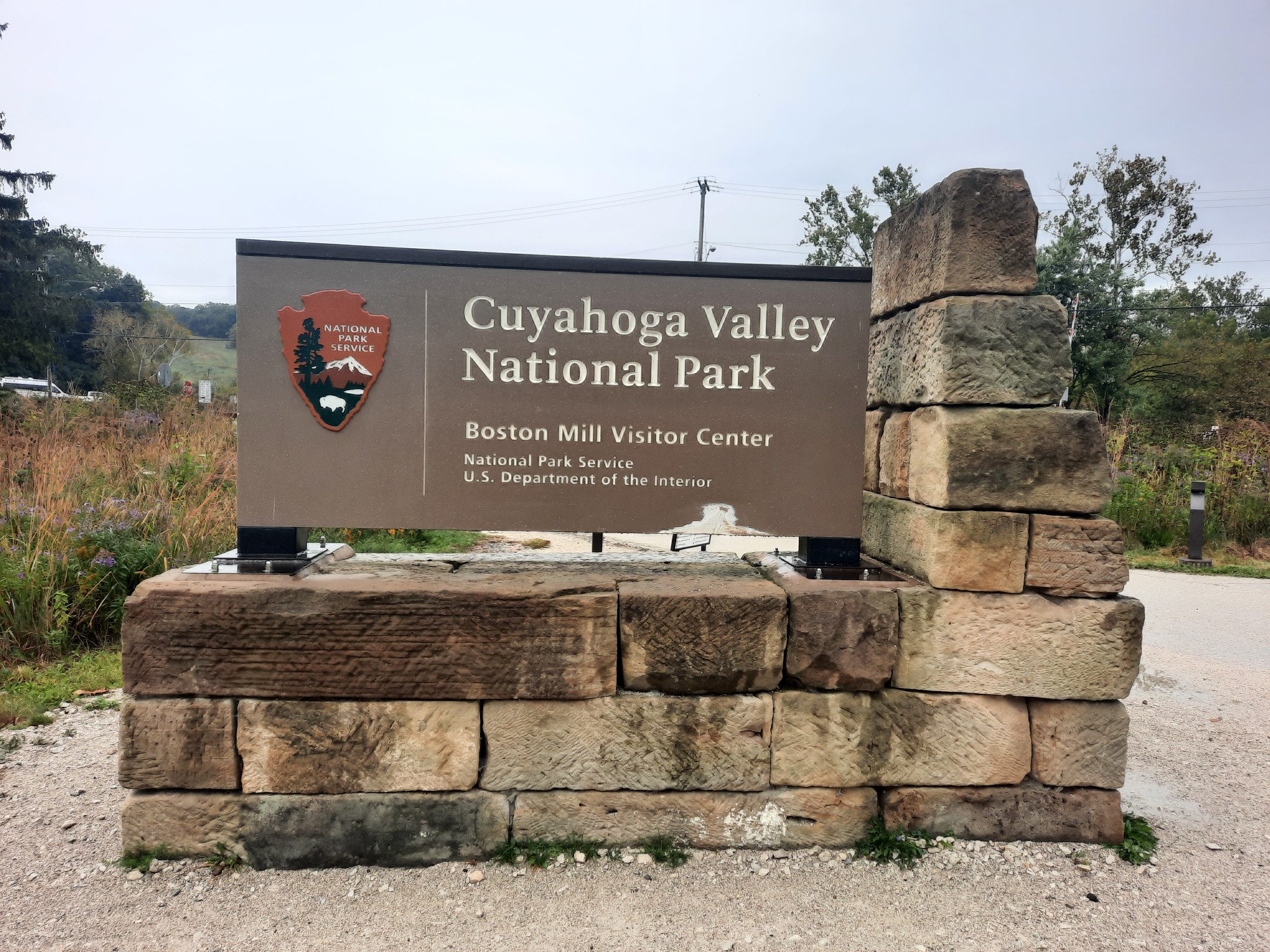
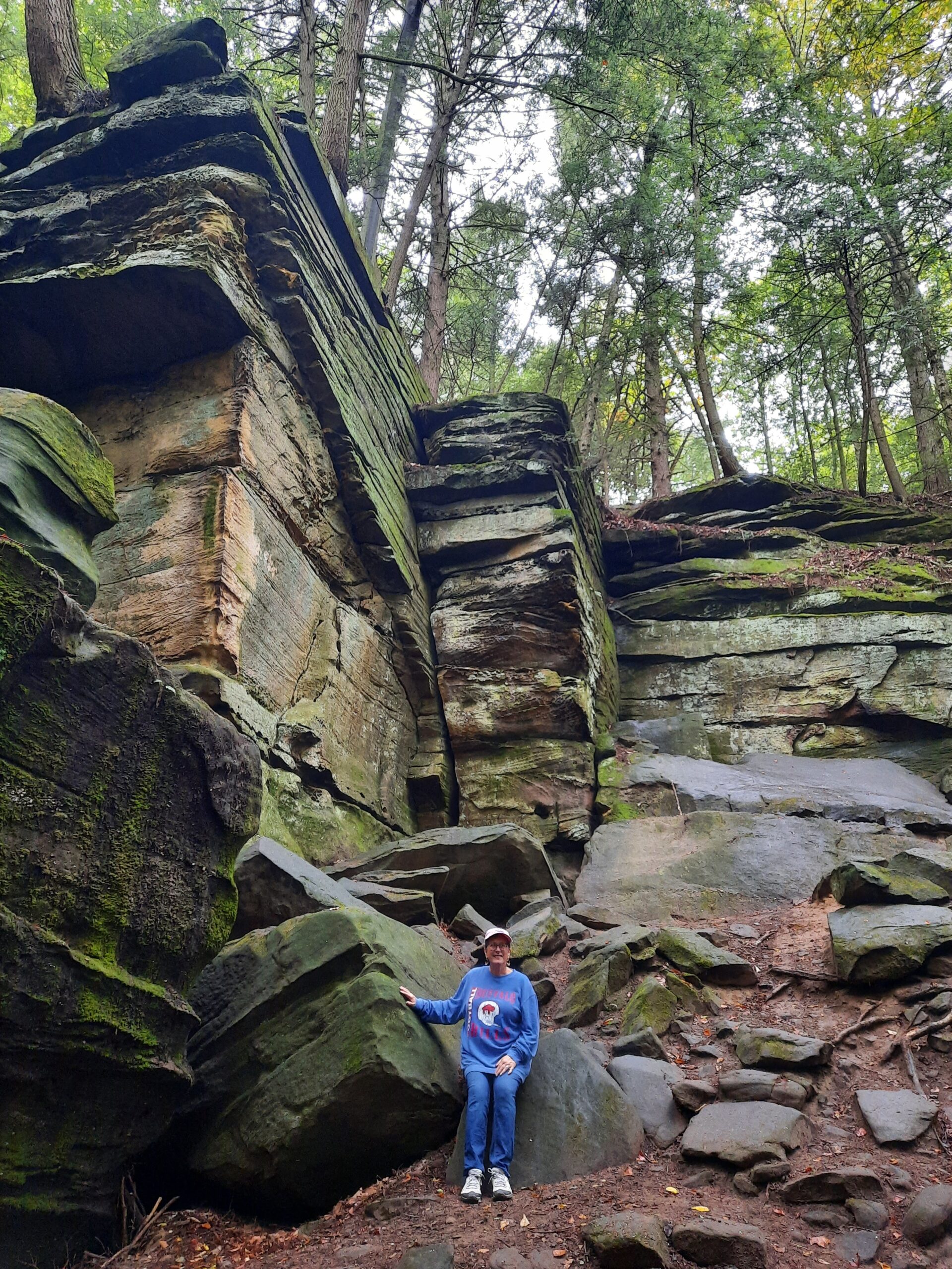
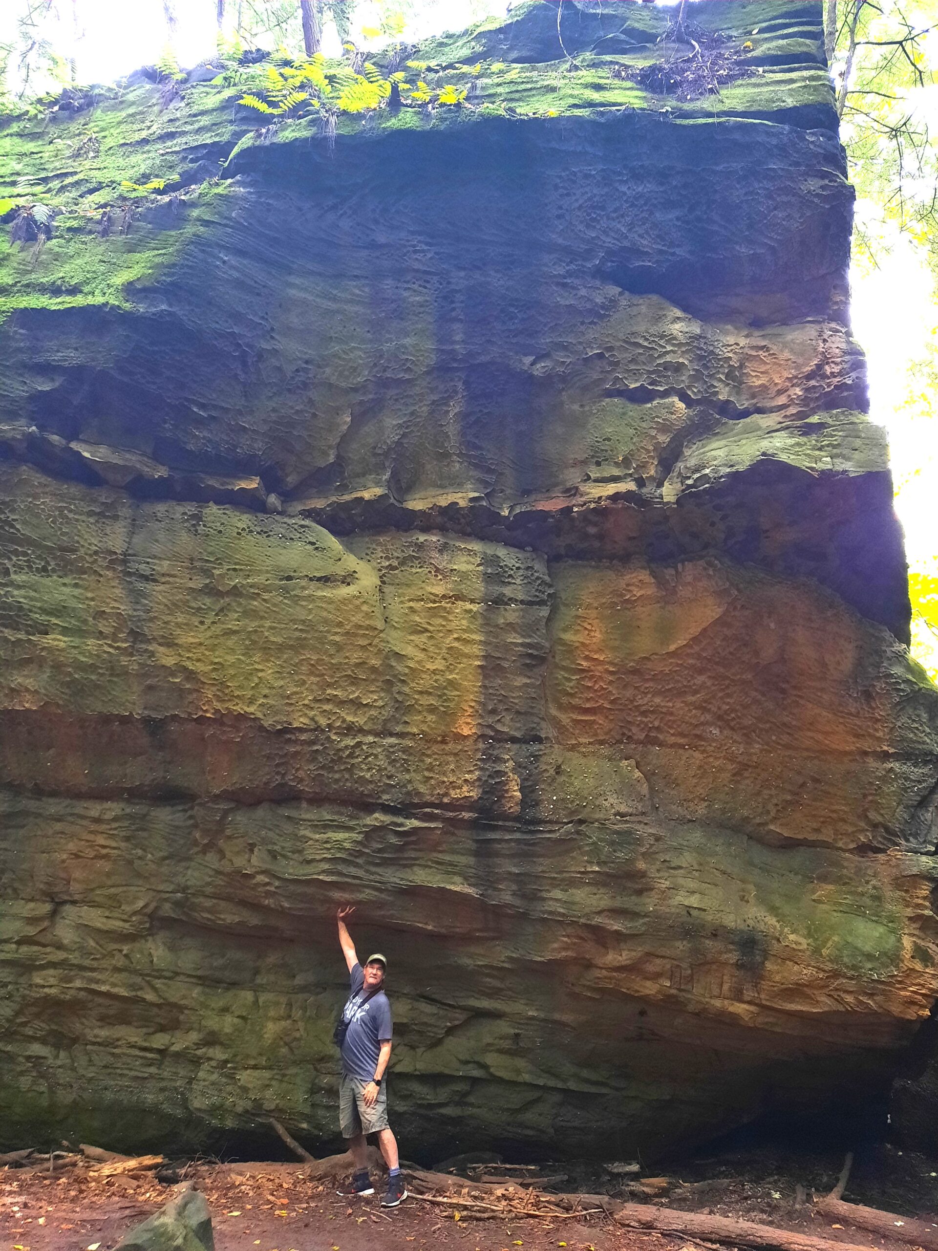
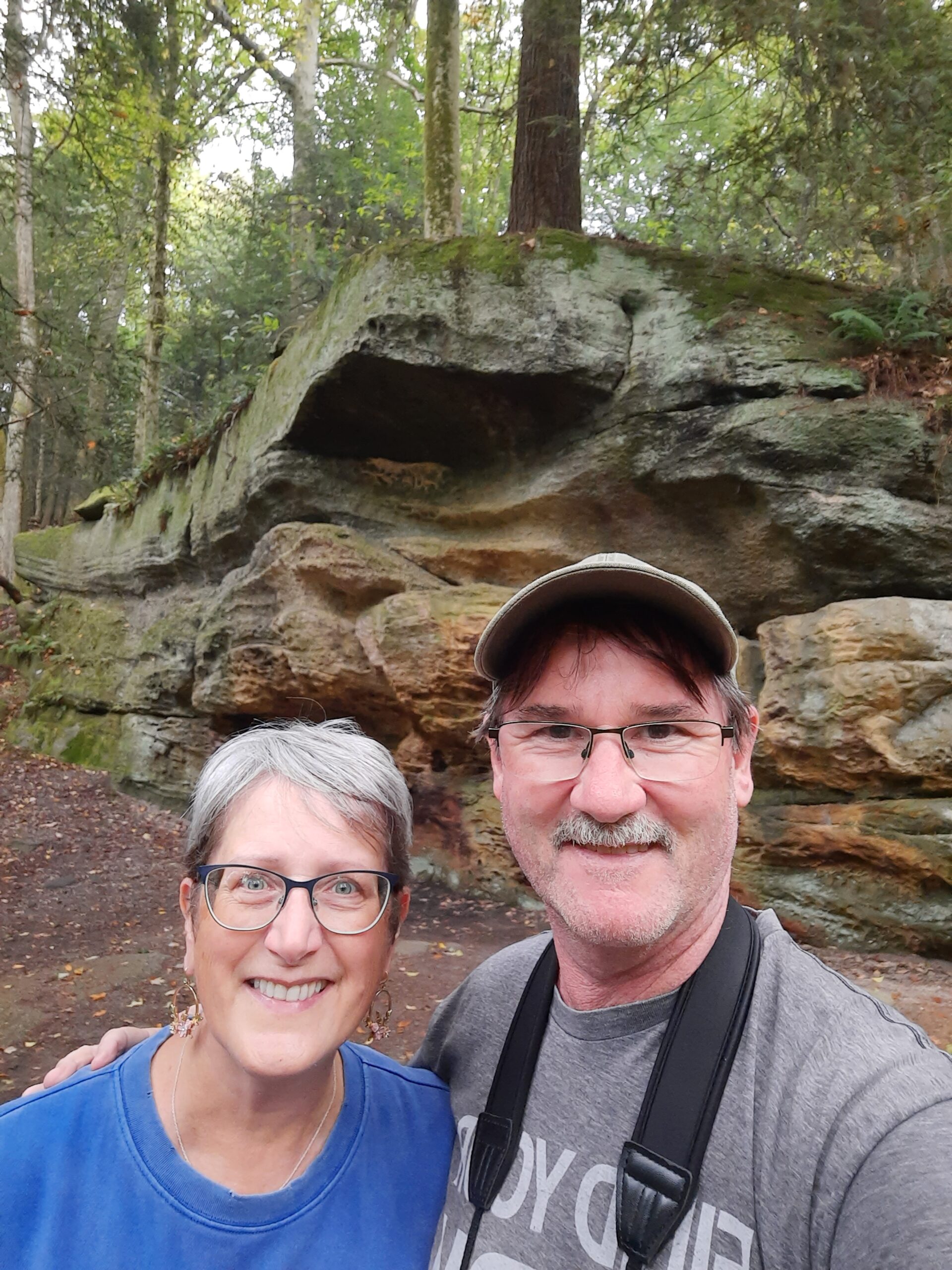
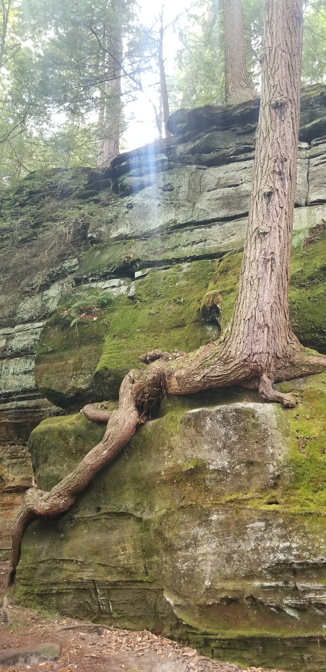
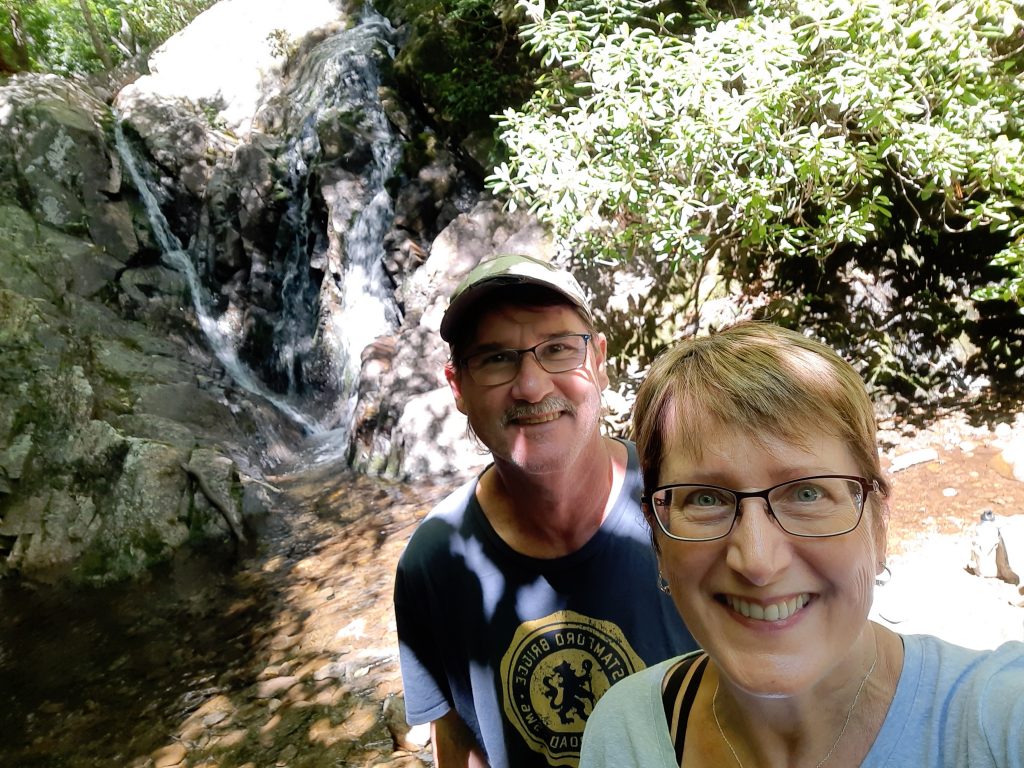
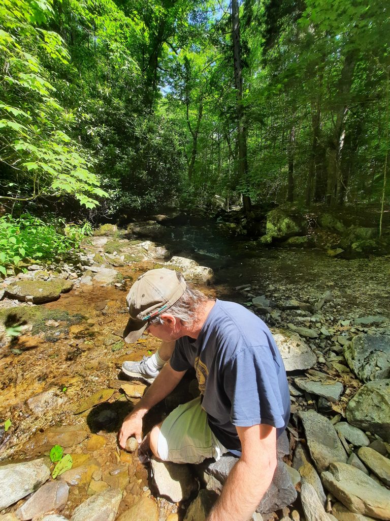
As we turned Big Blue on the trail homeward, past the shores of Lake Erie, our final adventure was Cuyahoga Valley National Park, near Cleveland, OH. This national park is considered an urban park, located close to the cities of Cleveland and Akron. Although it may be positioned in a high populated area, once you hop on one of the 125 miles of hiking trails, you would think you’re in the middle of the wilderness! The name “Cuyahoga” comes from the Native Americans who settled here, and means “crooked river.” The native tribes used the river for fishing and transportation, and took advantage of the large surrounding forest lands for hunting and gathering. As the Cuyahoga River carved its way through the landscape, it exposed giant rock outcroppings, that today’s visitors can walk right next to, and even under, in some spots. Cuyahoga Valley NP was a pleasant surprise, and a fitting end to our GREAT September Anniversary Trip!